Latitude: 54.083 / 54°4'58"N
Longitude: -0.8801 / 0°52'48"W
OS Eastings: 473360
OS Northings: 465813
OS Grid: SE733658
Mapcode National: GBR QP97.83
Mapcode Global: WHFBM.GM4R
Plus Code: 9C6X34M9+6X
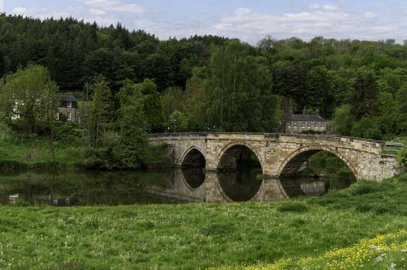
Entry Name: Kirkham Bridge
Listing Date: 10 October 1966
Grade: II
Source: Historic England
Source ID: 1149117
English Heritage Legacy ID: 328747
ID on this website: 101149117
Location: Kirkham, North Yorkshire, YO60
County: North Yorkshire
District: Ryedale
Civil Parish: Westow
Traditional County: Yorkshire
Lieutenancy Area (Ceremonial County): North Yorkshire
FIRBY KIRKHAM LANE SE 76 NW 1/43 Kirkham Bridge 10.10.66 GV II
Bridge. 1806. By John Carr. Gritstone ashlar. One pointed arch and 2 segmental arches divided by cutwaters forming refuges on road. Band. Chamfered parapet. North arch may preserve older work. Pevsner N, Yorkshire, York and the East Riding, 1972.
Listing NGR: SE7336465814


Other nearby listed buildings