Latitude: 51.518 / 51°31'4"N
Longitude: -0.946 / 0°56'45"W
OS Eastings: 473226
OS Northings: 180419
OS Grid: SU732804
Mapcode National: GBR C4X.TXD
Mapcode Global: VHDWM.K37N
Plus Code: 9C3XG393+5H
Entry Name: Old Place
Listing Date: 9 April 1987
Grade: II
Source: Historic England
Source ID: 1263498
English Heritage Legacy ID: 247206
ID on this website: 101263498
Location: South Oxfordshire, RG9
County: Oxfordshire
District: South Oxfordshire
Civil Parish: Harpsden
Traditional County: Oxfordshire
Lieutenancy Area (Ceremonial County): Oxfordshire
Church of England Parish: Harpsden
Church of England Diocese: Oxford
Tagged with: Building
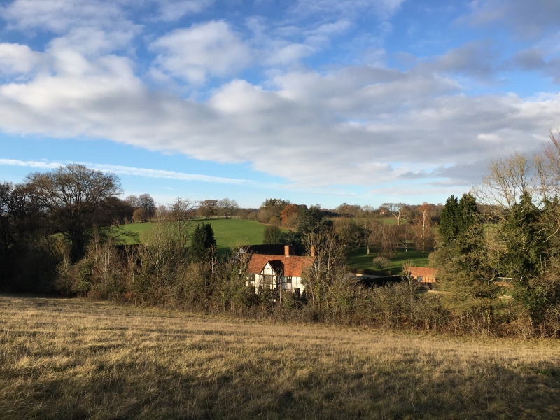
HARPSDEN SU 78 SW 6/190 Old Place - II House. Probably mid C16, extended early C17 and late C17/early C18 and with large C20 additions. Timber-framed with brick plinth and whitewashed brick hogging and plain-tile roof with brick ridge stacks. Originally single range, then L-plan now courtyard plan with very small centre. Single storey and attic and two storeys. 6-window range of casements with leaded lights. Central mid C16 range has timber- framed porch and door within.2-light casement to left and similar and single-light casement to right. A 3-light and a 2-light dormer over. Early C17 cross-wing to left has large wood mullioned and transomed corner window to left and 2-light casement over. Large C20 extension to right and to rear is not of special architectural interest. Left front to garden has central timber-framed porch and plank door within. 2-light wood mullioned and transomed window to left and the corner window to right. Three 2-light casements over.Late C17 cross-wing to left has large wood mullioned and transomed window (centre probably C20) with similar 2-light over and attic casement. Further casements on left end of cross-wing and the C20 extension to rear. Interior has ceiling beams, one moulded, and dog-leg staircase. Some original roof timbers including double queen-post truss. Formerly known as Bottom House Farm. (Information supplied by Henley on Thames Archaeological and Historical Group).
Listing NGR: SU7322680419
External links are from the relevant listing authority and, where applicable, Wikidata. Wikidata IDs may be related buildings as well as this specific building. If you want to add or update a link, you will need to do so by editing the Wikidata entry.


Other nearby listed buildings