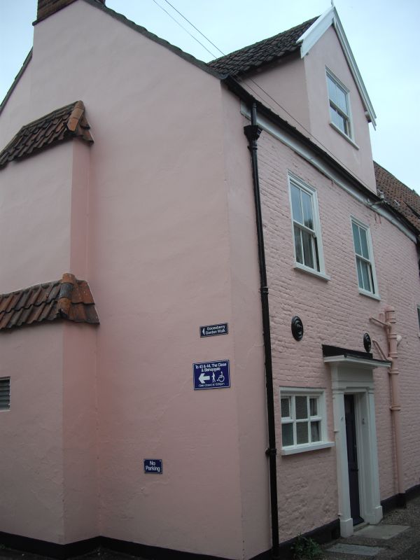
Latitude: 52.6315 / 52°37'53"N
Longitude: 1.3041 / 1°18'14"E
OS Eastings: 623695
OS Northings: 308875
OS Grid: TG236088
Mapcode National: GBR WBN.QL
Mapcode Global: WHMTN.039Y
Plus Code: 9F43J8J3+HM
Entry Name: 41, the Close
Listing Date: 5 June 1972
Grade: II*
Source: Historic England
Source ID: 1051306
English Heritage Legacy ID: 228957
ID on this website: 101051306
Location: The Close, Norwich, Norfolk, NR1
County: Norfolk
District: Norwich
Electoral Ward/Division: Thorpe Hamlet
Parish: Non Civil Parish
Built-Up Area: Norwich
Traditional County: Norfolk
Lieutenancy Area (Ceremonial County): Norfolk
Tagged with: House
TG 2308 NE THE CLOSE 17/208 5.6.72 No.41 GV II* House. Early C18. Painted brick. Pantile roof 2 storeys. Scattered fenestration. Left-hand off-centre door with flat pilasters, plain architrave and flat hood. C19 3-light window to left of door. 2 C19 sashes with simple surround at first floor. Central gabled dormer with sash window.
Listing NGR: TG2369508875
External links are from the relevant listing authority and, where applicable, Wikidata. Wikidata IDs may be related buildings as well as this specific building. If you want to add or update a link, you will need to do so by editing the Wikidata entry.


Other nearby listed buildings