

I am a geologist with a specialist interest in building stones and historic buildings.
All Photos: 9,225
Photos this month: 256
Photos this week: 62
Featured Photos: 76
Buildings photographed: 3,303
First photos of building: 2,665
First photos of building this month: 59
First photos of building this week: 19
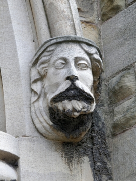
Church of St Mary
A headstop.
29 September 2026
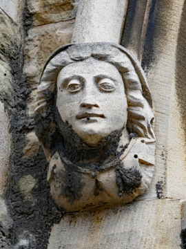
Church of St Mary
A headstop.
29 September 2026
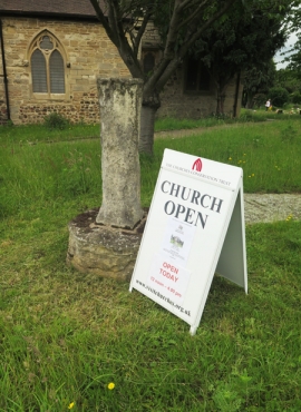
Remains of Cross Approximately 8 Metres to South of Porch to Church of St Oswald
A general view.
29 September 2026
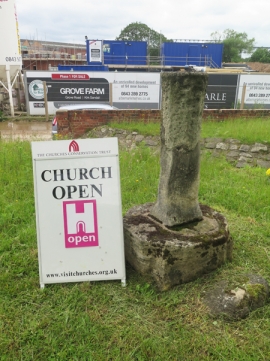
Remains of Cross Approximately 8 Metres to South of Porch to Church of St Oswald
A general view.
29 September 2026
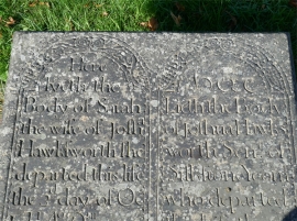
Raised Graveslab (Hawksworth) Approximately 30 Metres North West of Tower of Church of All Saints
A detail.
27 September 2026
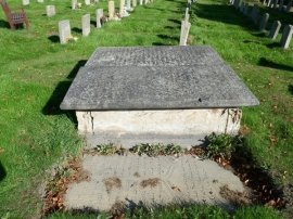
Raised Graveslab (Hawksworth) Approximately 30 Metres North West of Tower of Church of All Saints
A general view.
27 September 2026
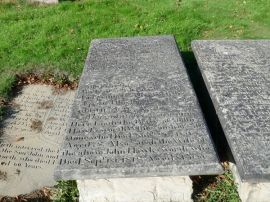
Raised Graveslab (Hawksworth) Approximately 30 Metres North West of Tower of Church of All Saints
A general view.
27 September 2026
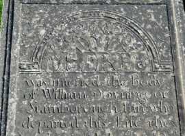
Raised Graveslab (Downing) Approximately 30 Metres West of North Side of Tower of Church of All Sain
A detail.
27 September 2026
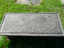
Raised Graveslab (Downing) Approximately 30 Metres West of North Side of Tower of Church of All Sain
A general view.
27 September 2026
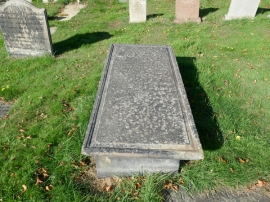
Raised Graveslab (Downing) Approximately 30 Metres West of North Side of Tower of Church of All Sain
A general view.
27 September 2026
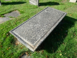
Raised Graveslab (Downing) Approximately 30 Metres West of North Side of Tower of Church of All Sain
A general view.
27 September 2026
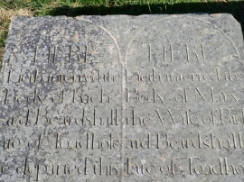
Raised Graveslab (Beardshall) Approximately 10 Metres West of South Side of Tower of Church of All S
A detail.
27 September 2026
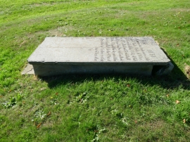
Raised Graveslab (Beardshall) Approximately 10 Metres West of South Side of Tower of Church of All S
A general view.
27 September 2026
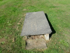
Raised Graveslab (Beardshall) Approximately 10 Metres West of South Side of Tower of Church of All S
A general view.
27 September 2026
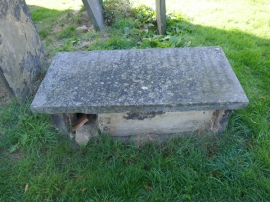
Raised Graveslab (Jub) Approximately 8 Metres North West of Tower of Church of All Saints
A general view.
27 September 2026
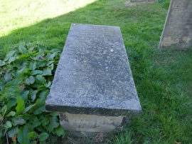
Raised Graveslab (Jub) Approximately 8 Metres North West of Tower of Church of All Saints
A general view.
27 September 2026
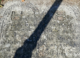
Graveslab (Couldwell) Approximately 8 Metres South West of Tower of Church of All Saints
A detail.
27 September 2026
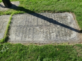
Graveslab (Couldwell) Approximately 8 Metres South West of Tower of Church of All Saints
A general view.
27 September 2026
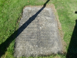
Graveslab (Couldwell) Approximately 8 Metres South West of Tower of Church of All Saints
A general view.
27 September 2026
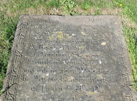
Graveslab (Wombersley) Approximately 5 Metres South West of Tower of Church of All Saints
A detail.
27 September 2026
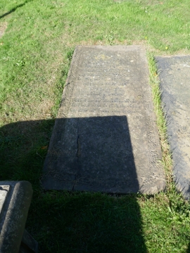
Graveslab (Wombersley) Approximately 5 Metres South West of Tower of Church of All Saints
A general view.
27 September 2026
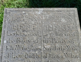
Raised Graveslab (Whitwham) Approximately 15 Metres East of Chancel of Church of All Saints
A detail.
27 September 2026
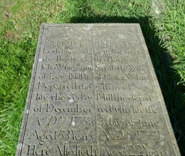
Raised Graveslab (Whitwham) Approximately 15 Metres East of Chancel of Church of All Saints
A general view.
27 September 2026
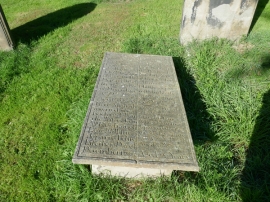
Raised Graveslab (Whitwham) Approximately 15 Metres East of Chancel of Church of All Saints
A general view.
27 September 2026
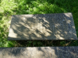
Raised Graveslab (Beckit) Approximately 5 Metres South East of Chancel of Church of All Saints
A general view.
27 September 2026
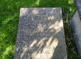
Raised Graveslab (Beckit) Approximately 5 Metres South East of Chancel of Church of All Saints
A detail.
27 September 2026
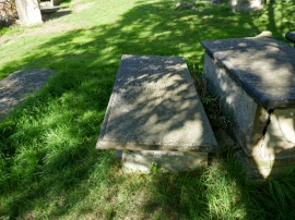
Raised Graveslab (Beckit) Approximately 5 Metres South East of Chancel of Church of All Saints
A general view.
27 September 2026
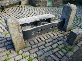
Stocks Approximately 20 Metres North of Ring O' Bells Public House
A general view.
27 September 2026
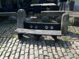
Stocks Approximately 20 Metres North of Ring O' Bells Public House
A general view.
27 September 2026
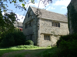
Woolley Manor
A general view.
27 September 2026
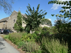
Barn Range Approximately 30 Metres South of Woolley Manor Farmhouse Including Woolley Manor Cottage
A general view.
27 September 2026
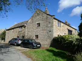
Barn Range Approximately 30 Metres South of Woolley Manor Farmhouse Including Woolley Manor Cottage
A general view.
27 September 2026
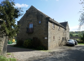
Barn Range Approximately 30 Metres South of Woolley Manor Farmhouse Including Woolley Manor Cottage
A general view.
27 September 2026
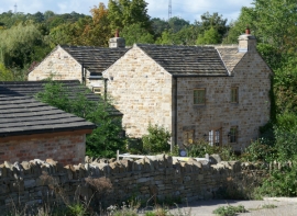
Bank House
A general view.
27 September 2026
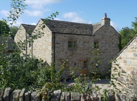
Bank House
A general view.
27 September 2026
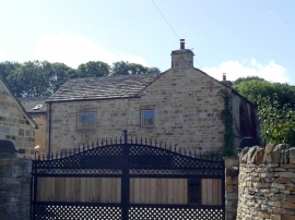
Bank House
The north-east elevation.
27 September 2026
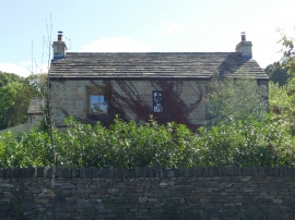
Bank House
A partial view of the freont (north-west elevation).
27 September 2026
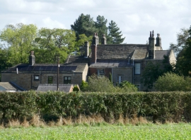
Dodworth Grange
A view from the north-west showing the rear of the main house and associated buildings.
27 September 2026
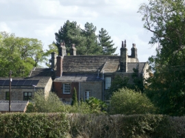
Dodworth Grange
A view from the north-west showing the rear of the main house and associated buildings.
27 September 2026
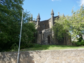
Church of St John
A general view.
27 September 2026