Latitude: 55.0432 / 55°2'35"N
Longitude: -1.8781 / 1°52'41"W
OS Eastings: 407885
OS Northings: 572080
OS Grid: NZ078720
Mapcode National: GBR HBB3.5Z
Mapcode Global: WHC37.3HXP
Plus Code: 9C7W24VC+7P
Entry Name: Conduithead
Listing Date: 28 April 1969
Grade: II
Source: Historic England
Source ID: 1370745
English Heritage Legacy ID: 238872
ID on this website: 101370745
Location: Stamfordham, Northumberland, NE18
County: Northumberland
Civil Parish: Stamfordham
Built-Up Area: Stamfordham
Traditional County: Northumberland
Lieutenancy Area (Ceremonial County): Northumberland
Church of England Parish: Stamfordham
Church of England Diocese: Newcastle
Tagged with: Building
STAMFORDHAM THE GREEN NZ 0772
28/386 Conduithead 28.4.69
GV II
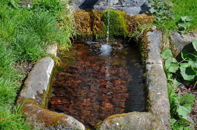
Conduithead. C18 or early C19. Dressed stone. Rectangular stone trough set in front of a square pier with moulded top. Behind the pier a short, convex retaining wall with flat coping.
Listing NGR: NZ0788572080
External links are from the relevant listing authority and, where applicable, Wikidata. Wikidata IDs may be related buildings as well as this specific building. If you want to add or update a link, you will need to do so by editing the Wikidata entry.


Other nearby listed buildings