Latitude: 51.2755 / 51°16'31"N
Longitude: 1.3412 / 1°20'28"E
OS Eastings: 633133
OS Northings: 158236
OS Grid: TR331582
Mapcode National: GBR X12.XKV
Mapcode Global: VHLGS.66DH
Plus Code: 9F3378GR+6F
Entry Name: Three Kings
Listing Date: 29 April 1970
Grade: II
Source: Historic England
Source ID: 1343779
English Heritage Legacy ID: 177644
Also known as: Three Kings
Three Kings, Sandwich
ID on this website: 101343779
Location: Sandwich, Dover, Kent, CT13
County: Kent
District: Dover
Civil Parish: Sandwich
Built-Up Area: Sandwich
Traditional County: Kent
Lieutenancy Area (Ceremonial County): Kent
Tagged with: Pub
This list entry was subject to a Minor Amendment on 12 May 2025 to update the Name and Address and reformat the text to current standards
TR 3358
1/34
STRAND STREET (South Side)
No 9 (Three Kings)
(Formerly listed as No 9 (Three Kings Public House))
29.4.70.
GV
II
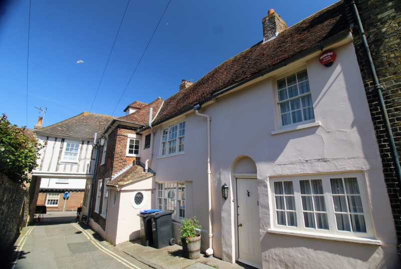
The front of the building is late C18, but over the entrance to the yard of the Inn is a carved bressummer of an older building dated 1603. Two storeys, three windows. Painted brick, ground floor stuccoed. Eaves cornice, glazing bars. Round headed doorway. The entrance to the yard is at the north-west end of the front. The south wing behind is wholly C18 of red brick and has a doorway with rectangular fanlight and flat hood over supported on carved brackets.
Nos 3 to 15A (odd) Three Kings Yard (Nos 1 to 5 (consec)). Pump and Railings, Chapel Remains and Nos 19 to 23 (odd) form a group with Nos 8 and 10 High Street.
Listing NGR: TR3313258226
External links are from the relevant listing authority and, where applicable, Wikidata. Wikidata IDs may be related buildings as well as this specific building. If you want to add or update a link, you will need to do so by editing the Wikidata entry.


Other nearby listed buildings