Latitude: 51.9898 / 51°59'23"N
Longitude: -1.7014 / 1°42'5"W
OS Eastings: 420599
OS Northings: 232416
OS Grid: SP205324
Mapcode National: GBR 4PB.8MV
Mapcode Global: VHBYZ.G7DY
Plus Code: 9C3WX7QX+WC
Entry Name: Thurston House
Listing Date: 30 June 1983
Grade: II
Source: Historic England
Source ID: 1341718
English Heritage Legacy ID: 126729
ID on this website: 101341718
Location: Moreton-in-Marsh, Cotswold, Gloucestershire, GL56
County: Gloucestershire
District: Cotswold
Civil Parish: Moreton-in-Marsh
Built-Up Area: Moreton-in-Marsh
Traditional County: Gloucestershire
Lieutenancy Area (Ceremonial County): Gloucestershire
Church of England Parish: Moreton-in-Marsh St David
Church of England Diocese: Gloucester
Tagged with: House
1. 5224 MORETON-IN-THE-MARSH OXFORD STREET (south side) Thurston House SP 2032 SE 2/76
II
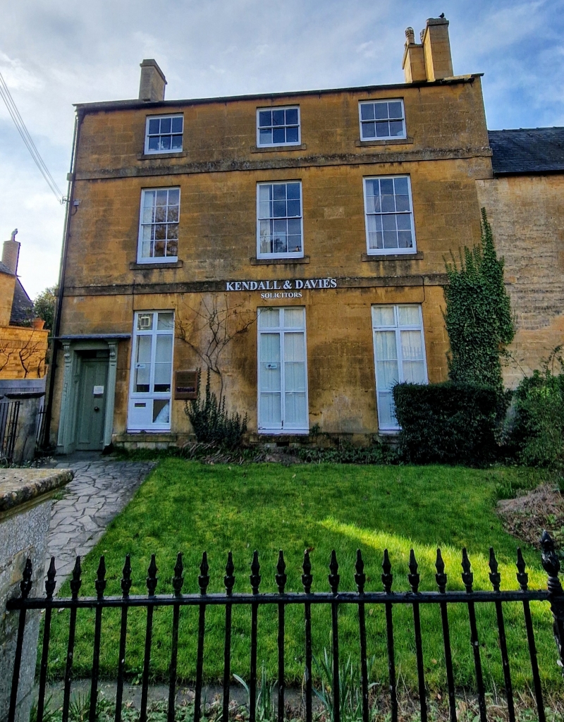
Early C19. Ashlar with plat bands and Welsh slate roof. Three storeys, 3 windows. French casements on ground floor, sashes with glazing bars above. Left hand doorway with panelled reveals and bracketted hood. Low pitch roof with ashlar end stacks.
Listing NGR: SP2059932416
External links are from the relevant listing authority and, where applicable, Wikidata. Wikidata IDs may be related buildings as well as this specific building. If you want to add or update a link, you will need to do so by editing the Wikidata entry.


Other nearby listed buildings