Latitude: 51.33 / 51°19'48"N
Longitude: 1.4087 / 1°24'31"E
OS Eastings: 637559
OS Northings: 164509
OS Grid: TR375645
Mapcode National: GBR X0L.GZK
Mapcode Global: VHMCW.CTLS
Plus Code: 9F338CJ5+2F
Entry Name: Clifton Villa
Listing Date: 4 February 1988
Grade: II
Source: Historic England
Source ID: 1336343
English Heritage Legacy ID: 172069
ID on this website: 101336343
Location: Ramsgate, Thanet, Kent, CT11
County: Kent
District: Thanet
Civil Parish: Ramsgate
Built-Up Area: Ramsgate
Traditional County: Kent
Lieutenancy Area (Ceremonial County): Kent
Tagged with: Villa
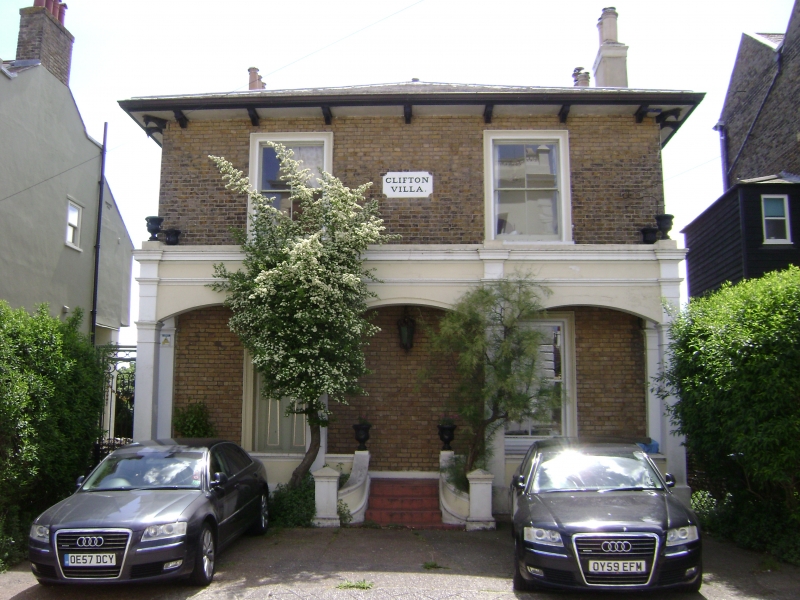
RAMSGATE WEST CLIFF ROAD TR 3764 NE (south side) 12/434 No. 54 (Clifton Villa) GV II House. Circa 1840. White stock brick with concrete tiled roof. Two storeys with bracketted eaves to hipped roof with stacks to left and to right. Two sashes on first floor with moulded surrounds, and sash to right and panelled door to left with rectangular fanlight on ground floor, both with moulded surrounds. Ground floor arcade with 3 segmental arches, bearing a parapet and urn finials, with low wall, 4 central steps and sweeping side walls. Name plaque: Clifton Villa; set in centre of first floor.
Listing NGR: TR3755964509
External links are from the relevant listing authority and, where applicable, Wikidata. Wikidata IDs may be related buildings as well as this specific building. If you want to add or update a link, you will need to do so by editing the Wikidata entry.


Other nearby listed buildings