Latitude: 53.3631 / 53°21'47"N
Longitude: -2.6352 / 2°38'6"W
OS Eastings: 357828
OS Northings: 385329
OS Grid: SJ578853
Mapcode National: GBR BY1K.93
Mapcode Global: WH98Q.HQDM
Plus Code: 9C5V9977+7W
Entry Name: Moore Lane Bridge
Listing Date: 31 October 1983
Grade: II
Source: Historic England
Source ID: 1330358
English Heritage Legacy ID: 56000
ID on this website: 101330358
Location: Moore, Halton, Cheshire, WA4
County: Halton
Civil Parish: Moore
Traditional County: Cheshire
Lieutenancy Area (Ceremonial County): Cheshire
Church of England Parish: Walton St John the Evangelist
Church of England Diocese: Chester
SJ 58 NE MOORE C.P. MOORE LANE
3/108 Moore Lane Bridge
II
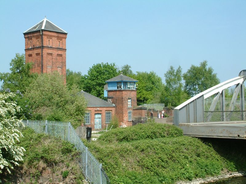
Swing bridge over Manchester Ship Canal Circa 1894. Steel segmental arched rivetted structure with lattice parapet, built up stanchions, cross braces and bracing across carriageway at high level. The bridge is operated from the north bank by means of hydraulic water power, like the Old Quay Bridge, Runcorn q.v., and has a similar arrangement of support buildings of red brickwork with slate hipped roofs. The north end of the bridge is in the Penketh C.P.
Listing NGR: SJ5782685332


Other nearby listed buildings