Latitude: 51.4309 / 51°25'51"N
Longitude: -1.0688 / 1°4'7"W
OS Eastings: 464835
OS Northings: 170622
OS Grid: SU648706
Mapcode National: GBR B4L.6LV
Mapcode Global: VHCZH.F9CD
Plus Code: 9C3WCWJJ+9F
Entry Name: Sheffield Lock at Su 648706
Listing Date: 6 December 1990
Grade: II
Source: Historic England
Source ID: 1319599
English Heritage Legacy ID: 40056
ID on this website: 101319599
Location: Sheffield Bottom, West Berkshire, RG7
County: West Berkshire
Civil Parish: Theale
Traditional County: Berkshire
Lieutenancy Area (Ceremonial County): Berkshire
Church of England Parish: Burghfield
Church of England Diocese: Oxford
The following structure shall be added to the list:
BURGHFIELD KENNET & AVON CANAL SU 67 SW 1/2 Sheffield Lock at SU 648706
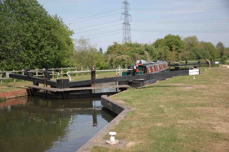
- II Lock. Early C18, originally turf-sided, enlarged mid C18, C20 alterations. Brick chamber walls of 11 scalloped bays, with brick coping. 2 sets of double wooden gates, all with mechanical gate paddle gearing. Concrete and brick heelgrip platforms. The Kennet Navigation was established by 1724 and acquired by the Kennet & Avon Canal Co in 1812. John Hore was engineer to the Navigation. John Rennie was engineer to the Canal. Scheduled ancient monument; Berks 195.
Listing NGR: SU6480070600


Other nearby listed buildings