Latitude: 50.9463 / 50°56'46"N
Longitude: 0.7295 / 0°43'46"E
OS Eastings: 591832
OS Northings: 119870
OS Grid: TQ918198
Mapcode National: GBR QXP.R6N
Mapcode Global: FRA D6FL.S0S
Plus Code: 9F22WPWH+GQ
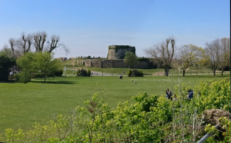
Entry Name: Martello Tower
Listing Date: 12 October 1951
Grade: II
Source: Historic England
Source ID: 1262420
English Heritage Legacy ID: 435095
ID on this website: 101262420
Location: Rye, Rother, East Sussex, TN31
County: East Sussex
District: Rother
Civil Parish: Rye
Built-Up Area: Rye
Traditional County: Sussex
Lieutenancy Area (Ceremonial County): East Sussex
Church of England Parish: Rye
Church of England Diocese: Chichester
1. 1578 WINCHELSEA ROAD Martello Tower TQ 91 NW 3/162 12.10.51.
II
2. One of the few Martello Towers in Sussex of which the roof has not been altered by refortification for use in the late war. The tower is numbered 30. Circular tower erected for defence purposes during the invasion scare of 1806. Walls built of brick 5½-6 ft thick covered with a coating of cement (which is now peeling off in places). Eaves cornice of cement. The centre of the roof is flat with a narrow sloping portion round the edge. Doorway 20 ft above the ground. Inside originally a magazine and 2 floors above this. This tower has presumably been adapted for residence at one time as a small sash window has been inserted on the east and west sides and 2 small chinmeys above the roof level. The Tower is surrounded by a circular earth rampart. This tower is scheduled as an AM.
Listing NGR: TQ9183219870


Other nearby listed buildings