Latitude: 51.35 / 51°21'0"N
Longitude: 1.238 / 1°14'16"E
OS Eastings: 625569
OS Northings: 166194
OS Grid: TR255661
Mapcode National: GBR VYV.7TT
Mapcode Global: VHLGB.DBTD
Plus Code: 9F33962Q+25
Entry Name: Down Barton
Listing Date: 7 October 1986
Grade: II
Source: Historic England
Source ID: 1224802
English Heritage Legacy ID: 420950
ID on this website: 101224802
Location: Thanet, Kent, CT7
County: Kent
District: Thanet
Civil Parish: St. Nicholas at Wade
Built-Up Area: St Nicholas at Wade
Traditional County: Kent
Lieutenancy Area (Ceremonial County): Kent
Tagged with: Architectural structure
ST NICHOLAS AT WADE DOWN BARTON ROAD TR 26 NE (north side) 1/84 Down Barton GV II
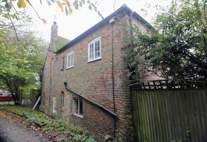
House. C16, altered and extended C18. Timber framed and clad with red brick. Plain tiled roof. Four framed bay plan. Two storeys on plinth, the end right bay clad c.1700, the other 3 bays with later C18 brickwork. Parapet to roof hipped at left, gabled at right with stacks to rear left, rear centre and projecting at end right. One flat-roof dormer with horizontal sliding sash. Three sash windows and lunette to centre left over doorway on first floor. Two C20 wooden casements and sash at right on ground floor. C19 gabled porch with Gothick style door at centre left. One storeyed hipped extension projecting at left (originally the dairy, now a garage). Interior: full frame visible. Clasped purlin roof in part (not all visible); remains of fire hood in returned wing at left. Inglenooks.
Listing NGR: TR2556966194
External links are from the relevant listing authority and, where applicable, Wikidata. Wikidata IDs may be related buildings as well as this specific building. If you want to add or update a link, you will need to do so by editing the Wikidata entry.


Other nearby listed buildings