Latitude: 54.4758 / 54°28'32"N
Longitude: -1.0643 / 1°3'51"W
OS Eastings: 460728
OS Northings: 509335
OS Grid: NZ607093
Mapcode National: GBR PJ0P.CB
Mapcode Global: WHF8L.MRCP
Plus Code: 9C6WFWGP+87
Entry Name: School House
Listing Date: 30 October 1990
Grade: II
Source: Historic England
Source ID: 1189232
English Heritage Legacy ID: 333191
ID on this website: 101189232
Location: Kildale, North Yorkshire, YO21
County: North Yorkshire
District: Hambleton
Civil Parish: Kildale
Traditional County: Yorkshire
Lieutenancy Area (Ceremonial County): North Yorkshire
Church of England Parish: Kildale St Cuthbert
Church of England Diocese: York
Tagged with: House
NZ 60 NW
6/132
KILDALE
MAIN STREET
South side
School House
GV
II
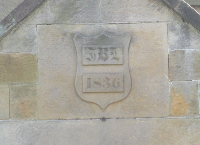
Schoolmaster's house, now house. Dated '1836 JBL'; altered. Pecked
coursed squared stone; Welsh slate roof; ashlar coping, ridge and
stacks. I½ storeys, 2 bays. Plinth. Gabled porch on left has
chamfered, round-cornered, doorway; part-glazed door; dated and
initialled shield in gable; shaped kneelers; and coping. 12-pane
sash windows, on upper floor rising through eaves under gablets.
Shaped kneelers. Shouldered corniced end stacks.
Listing NGR: NZ6072809335
External links are from the relevant listing authority and, where applicable, Wikidata. Wikidata IDs may be related buildings as well as this specific building. If you want to add or update a link, you will need to do so by editing the Wikidata entry.


Other nearby listed buildings