Latitude: 54.5807 / 54°34'50"N
Longitude: -1.5518 / 1°33'6"W
OS Eastings: 429068
OS Northings: 520704
OS Grid: NZ290207
Mapcode National: GBR KHLG.VQ
Mapcode Global: WHC5Q.44B5
Plus Code: 9C6WHCJX+77
Entry Name: Mill Bridge
Listing Date: 27 January 1988
Grade: II
Source: Historic England
Source ID: 1185902
English Heritage Legacy ID: 350381
ID on this website: 101185902
Location: Brafferton, Darlington, County Durham, DL1
County: Darlington
Civil Parish: Coatham Mundeville
Traditional County: Durham
Lieutenancy Area (Ceremonial County): County Durham
Church of England Parish: Great Aycliffe
Church of England Diocese: Durham
BRAFFERTON BRAFFERTON LANE NZ 22 SE 1/10 Mill Bridge
II
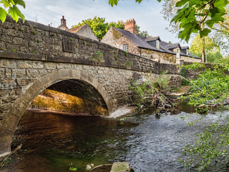
Bridge over former mill pond. 1861, dated on plaque on west parapet. Squared rock-faced limestone. Both faces similar. Low c.40-metre long bridge. 3 widely-spaced semicircular arches with projecting tooled-and-margined voussoirs. Small triangular-plan cutwaters between arches. Parapet, defined by band at road level, has rounded coping stones. Low square-plan end piers with pyramidal caps.
This bridge straddles the parishes of Brafferton and Coatham Mundeville.
Listing NGR: NZ2906820704


Other nearby listed buildings