Latitude: 54.5807 / 54°34'50"N
Longitude: -1.5518 / 1°33'6"W
OS Eastings: 429069
OS Northings: 520704
OS Grid: NZ290207
Mapcode National: GBR KHLG.VQ
Mapcode Global: WHC5Q.44B5
Plus Code: 9C6WHCJX+77
Entry Name: Mill Bridge
Listing Date: 16 July 1986
Grade: II
Source: Historic England
Source ID: 1121231
English Heritage Legacy ID: 110749
ID on this website: 101121231
Location: Brafferton, Darlington, County Durham, DL1
County: Darlington
Civil Parish: Coatham Mundeville
Traditional County: Durham
Lieutenancy Area (Ceremonial County): County Durham
Church of England Parish: Great Aycliffe
Church of England Diocese: Durham
Tagged with: Bridge
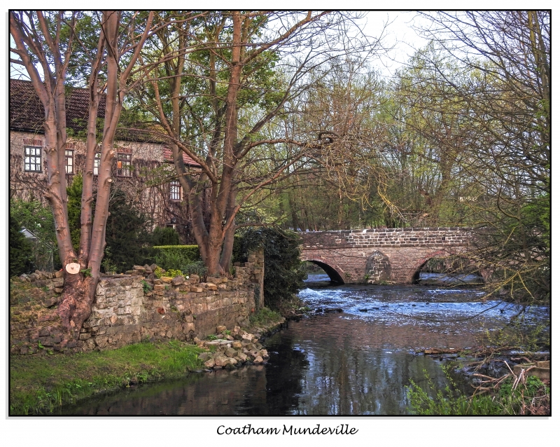
NZ 2920 COATHAM MUNDEVILLE BRAFFERTON LANE 13/160 Mill Bridge II Bridge over former mill pond. 1861, dated on plaque in west parapet, possibly refacing of an earlier bridge. Squared rock-faced limestone. Both faces similar. Low 40-metre long bridge. 3 widely-spaced semicircular arches with projecting tooled-and-margined voussoirs. Small triangular-plan cutwaters between arches. Rising curved parapet, defined by band at road level, has rounded coping. Dated plaque in centre of west parapet outer face. Low square-plan end piers with pyramidal caps. This bridge straddles the parishes of Coatham Mundeville and Brafferton.
Listing NGR: NZ2906920704
External links are from the relevant listing authority and, where applicable, Wikidata. Wikidata IDs may be related buildings as well as this specific building. If you want to add or update a link, you will need to do so by editing the Wikidata entry.


Other nearby listed buildings