Latitude: 54.5587 / 54°33'31"N
Longitude: -0.793 / 0°47'34"W
OS Eastings: 478155
OS Northings: 518830
OS Grid: NZ781188
Mapcode National: GBR QHXQ.3M
Mapcode Global: WHF8B.SPL3
Plus Code: 9C6XH654+FR
Entry Name: Seven Bells
Listing Date: 10 December 1985
Grade: II
Source: Historic England
Source ID: 1179001
English Heritage Legacy ID: 327147
ID on this website: 101179001
Location: Staithes, North Yorkshire, TS13
County: North Yorkshire
District: Scarborough
Civil Parish: Hinderwell
Built-Up Area: Staithes
Traditional County: Yorkshire
Lieutenancy Area (Ceremonial County): North Yorkshire
Church of England Parish: Hinderwell with Roxby and Staithes
Church of England Diocese: York
Tagged with: Architectural structure
NZ 7818 NW
8/72
HINDERWELL
CHAPEL YARD
(north side of south branch) Staithes
Seven Bells
II
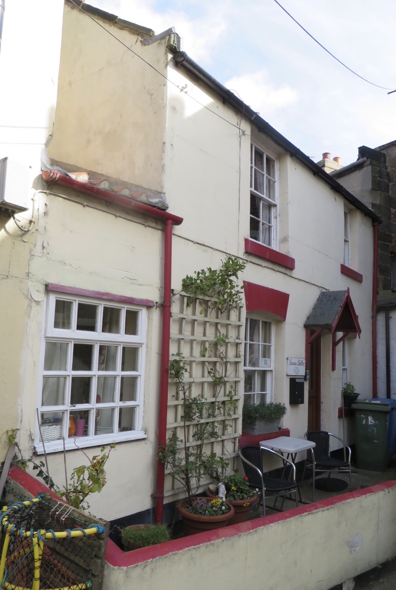
House, early C19. Rendered front. Welsh slate roof with stone copings and short
kneelers, brick end chimneys. Two storeys, 2 windows, sashes with glazing bars,
those on ground floor under segmental arches. Modern door. One-bay left
extension.
Listing NGR: NZ7815518830
External links are from the relevant listing authority and, where applicable, Wikidata. Wikidata IDs may be related buildings as well as this specific building. If you want to add or update a link, you will need to do so by editing the Wikidata entry.


Other nearby listed buildings