Latitude: 54.5587 / 54°33'31"N
Longitude: -0.7926 / 0°47'33"W
OS Eastings: 478176
OS Northings: 518827
OS Grid: NZ781188
Mapcode National: GBR QHXQ.6M
Mapcode Global: WHF8B.SPR4
Plus Code: 9C6XH654+FW
Entry Name: Glaisdale Cottage
Listing Date: 26 March 1973
Grade: II
Source: Historic England
Source ID: 1148914
English Heritage Legacy ID: 327193
ID on this website: 101148914
Location: Staithes, North Yorkshire, TS13
County: North Yorkshire
District: Scarborough
Civil Parish: Hinderwell
Built-Up Area: Staithes
Traditional County: Yorkshire
Lieutenancy Area (Ceremonial County): North Yorkshire
Church of England Parish: Hinderwell with Roxby and Staithes
Church of England Diocese: York
Tagged with: Cottage
NZ 7818 NW
8/118
26.3.73
HINDERWELL
HIGH STREET
(east side) Staithes
Glaisdale Cottage No 38
GV
II
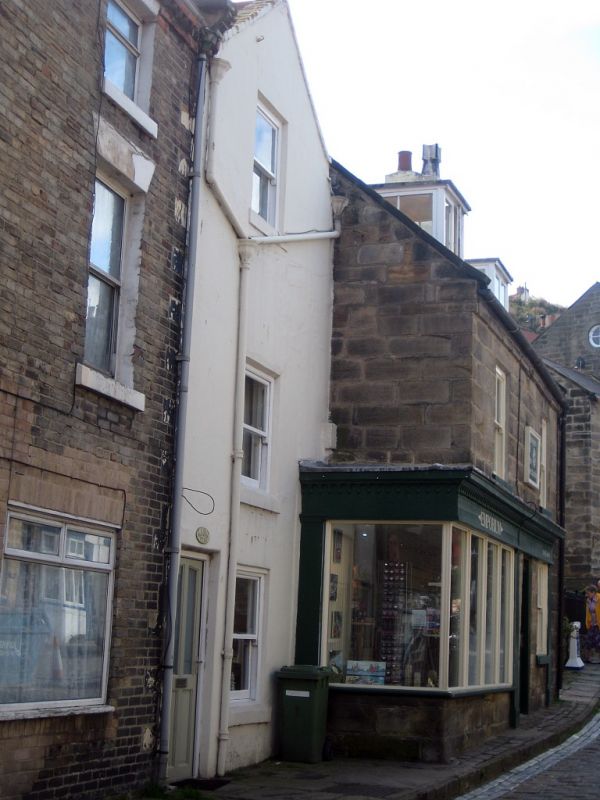
Cottage, late C18 or early C19. Rendered on stone. Roof renewed in concrete tiles.
Two storeys, one window, sashes without bars. Half-glazed C20 door. Included
for group value.
Listing NGR: NZ7817618827
External links are from the relevant listing authority and, where applicable, Wikidata. Wikidata IDs may be related buildings as well as this specific building. If you want to add or update a link, you will need to do so by editing the Wikidata entry.


Other nearby listed buildings