Latitude: 54.7354 / 54°44'7"N
Longitude: -1.5796 / 1°34'46"W
OS Eastings: 427168
OS Northings: 537908
OS Grid: NZ271379
Mapcode National: GBR KFDP.T8
Mapcode Global: WHC4X.Q70L
Plus Code: 9C6WPCPC+55
Entry Name: Bridge 170 Metres North of the Mill House
Listing Date: 7 December 1987
Grade: II
Source: Historic England
Source ID: 1159129
English Heritage Legacy ID: 109929
ID on this website: 101159129
Location: Sunderland Bridge, County Durham, DH6
County: County Durham
Civil Parish: Croxdale and Hett
Traditional County: Durham
Lieutenancy Area (Ceremonial County): County Durham
Church of England Parish: Croxdale
Church of England Diocese: Durham
Tagged with: Bridge
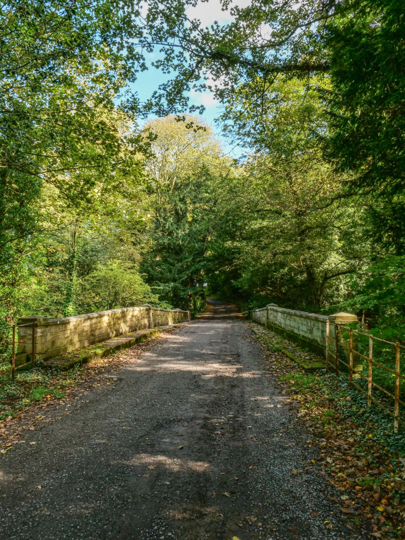
CROXDALE AND HETT THE AVENUE NZ 2737 27163791 Croxdale Estate 17/48 Bridge 170 metres north of The Mill House II Single-track road bridge over Croxdale Beck, c.1760 by Christopher Ebdon. Tooled squared sandstone with ashlar centre section, dressings, and parapet. Classical style. Both faces similar. 3 sections defined by thin piers with chamfered rustication. Wide elliptical arch across river has chamfered voussoirs and projecting keystone under drip mould. Flanking end sections have small elliptical land arches in rusticated surrounds; arch at west blocked. Flat-coped parapet with centre section above dentilled cornice and slightly raked-down flanking sections above road-level band. Each section defined by square-plan pier with pyramidal cap. Short splayed retaining walls at both ends.
Listing NGR: NZ2716837908
External links are from the relevant listing authority and, where applicable, Wikidata. Wikidata IDs may be related buildings as well as this specific building. If you want to add or update a link, you will need to do so by editing the Wikidata entry.


Other nearby listed buildings