Latitude: 53.3311 / 53°19'51"N
Longitude: -1.6514 / 1°39'4"W
OS Eastings: 423315
OS Northings: 381628
OS Grid: SK233816
Mapcode National: GBR JYXX.8M
Mapcode Global: WHCCN.LJVP
Plus Code: 9C5W88JX+CF
Entry Name: Barn to the South West of Hathersage Hall
Listing Date: 12 July 1967
Last Amended: 19 February 1985
Grade: II
Source: Historic England
Source ID: 1158788
English Heritage Legacy ID: 81189
Also known as: The Barn
ID on this website: 101158788
Location: Hathersage, Derbyshire Dales, Derbyshire, S32
County: Derbyshire
District: Derbyshire Dales
Civil Parish: Hathersage
Built-Up Area: Hathersage
Traditional County: Derbyshire
Lieutenancy Area (Ceremonial County): Derbyshire
Church of England Parish: Hathersage St Michael and All Angels
Church of England Diocese: Derby
Tagged with: Office building Barn
SK 23 81 PARISH OF HATHERSAGE MAIN ROAD (off) 6/40 12/7/67 Barn to the south west of Hathersage Hall (formerly listed as Outbuildings at the Hall) GV II
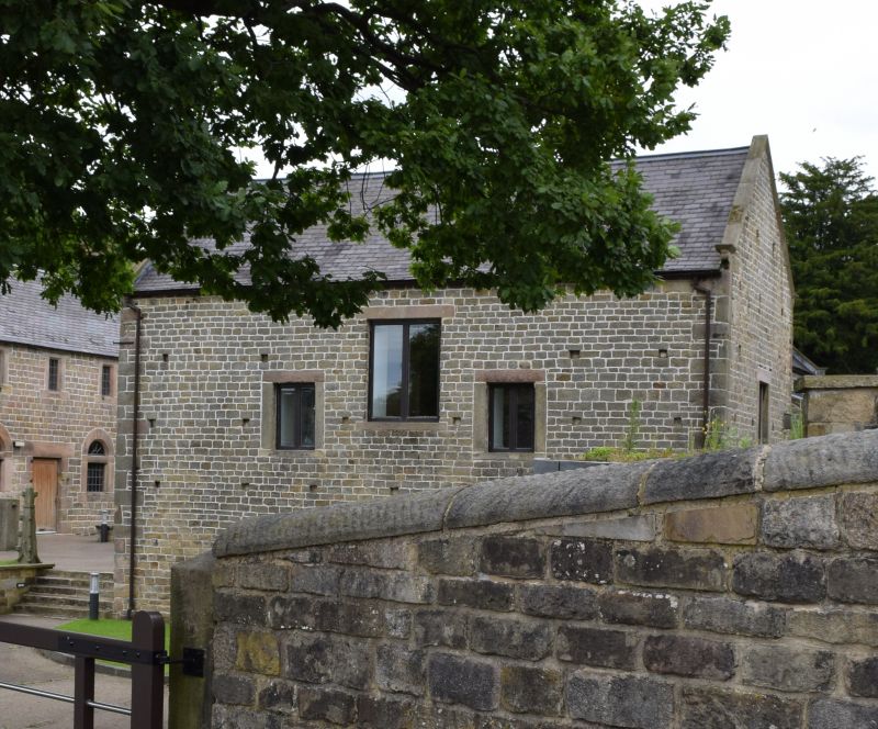
Barn. C17 with C19 additions to rear. Coursed rubble gritstone with quoins, coped gables with moulded kneelers and a concrete tiled roof. Elongated 'T' plan with crosswing to south west end. Two storeys, five bays to main range and two bays to crosswing. Centre bay to main range has full height opening with a depressed arched head with keyblock, and a single doorway to the south west end with massive quoined surround. Ventilation slits to ground and first floors. South west wall of crosswing has two doorways with quoined surrounds, one now partially blocked, and two first floor taking-in doorways, with flush surrounds, also blocked. C20 opening inserted between blocked openings. Interior; Queen strut roof trusses with curved struts support single purlin roof.
Listing NGR: SK2331581628
External links are from the relevant listing authority and, where applicable, Wikidata. Wikidata IDs may be related buildings as well as this specific building. If you want to add or update a link, you will need to do so by editing the Wikidata entry.


Other nearby listed buildings