Latitude: 51.9526 / 51°57'9"N
Longitude: 0.3409 / 0°20'27"E
OS Eastings: 560966
OS Northings: 230818
OS Grid: TL609308
Mapcode National: GBR NFB.H0X
Mapcode Global: VHHLK.V6L0
Plus Code: 9F32X83R+29
Entry Name: Thaxted Windmill
Listing Date: 7 February 1952
Grade: II*
Source: Historic England
Source ID: 1112153
English Heritage Legacy ID: 122256
Also known as: Lowe’s Mill
Windmill
ID on this website: 101112153
Location: Thaxted, Uttlesford, Essex, CM6
County: Essex
District: Uttlesford
Civil Parish: Thaxted
Built-Up Area: Thaxted
Traditional County: Essex
Lieutenancy Area (Ceremonial County): Essex
Tagged with: Tower mill
This list entry was subject to a Minor Amendment on 4 February 2025 to update the name and address and reformat the text to current standards
TL 63SW: 5/166
THAXTED
FISHMARKET STREET
Windmill
(Formerly listed as Windmill)
7.2.52
II*
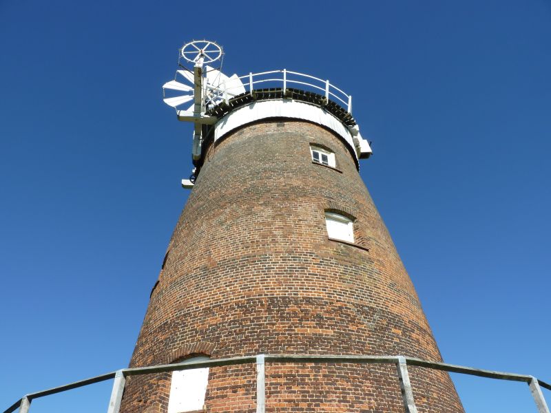
Red brick tower mill, built in 1804 for Mr John Webb. Now fully restored, with sails and machinery. Stands in a commanding position, South West of the Church and is one of the features of the town.
Listing NGR: TL6096630820
External links are from the relevant listing authority and, where applicable, Wikidata. Wikidata IDs may be related buildings as well as this specific building. If you want to add or update a link, you will need to do so by editing the Wikidata entry.


Other nearby listed buildings