Latitude: 52.368 / 52°22'4"N
Longitude: -2.1818 / 2°10'54"W
OS Eastings: 387720
OS Northings: 274454
OS Grid: SO877744
Mapcode National: GBR 1D2.F79
Mapcode Global: VH91W.4RF1
Plus Code: 9C4V9R99+57
Entry Name: The Malt House
Listing Date: 25 February 1958
Grade: II
Source: Historic England
Source ID: 1100673
English Heritage Legacy ID: 157017
ID on this website: 101100673
Location: Harvington, Wyre Forest, Worcestershire, DY10
County: Worcestershire
District: Wyre Forest
Civil Parish: Chaddesley Corbett
Traditional County: Worcestershire
Lieutenancy Area (Ceremonial County): Worcestershire
Church of England Parish: Kidderminster East
Church of England Diocese: Worcester
Tagged with: House
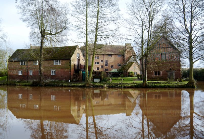
CHADDESLEY CORBETT CP HARVINGTON SO 87 SE 10/30 The Malt House 25.2.58 GV II Malt house. C17, with some mid-C19 and mid-C20 alterations. Timber- frame with brick infill on sandstone ashlar ground floor. Two storeys with small window to right-hand corner. Ground floor with two 2-light casements flank entrance to left which has a C17 battened door. Entrance to right also has a C17 battened door. South gable end has a 3-light stone mullioned window on ground floor. Framing: one square panel high, with straight tension braces to south gable, north gable close-studded. Interior: northern part of building contains a C19 malt kiln.
Listing NGR: SO8772074454
External links are from the relevant listing authority and, where applicable, Wikidata. Wikidata IDs may be related buildings as well as this specific building. If you want to add or update a link, you will need to do so by editing the Wikidata entry.


Other nearby listed buildings