Latitude: 51.1138 / 51°6'49"N
Longitude: 0.4727 / 0°28'21"E
OS Eastings: 573176
OS Northings: 137852
OS Grid: TQ731378
Mapcode National: GBR PT3.0CJ
Mapcode Global: VHJN5.48SH
Plus Code: 9F324F7F+G3
Entry Name: Beechurst
Listing Date: 22 June 1989
Grade: II
Source: Historic England
Source ID: 1084697
English Heritage Legacy ID: 169498
ID on this website: 101084697
Location: Goudhurst, Tunbridge Wells, Kent, TN17
County: Kent
District: Tunbridge Wells
Civil Parish: Goudhurst
Built-Up Area: Goudhurst
Traditional County: Kent
Lieutenancy Area (Ceremonial County): Kent
Tagged with: Building
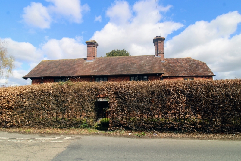
GOUDHURST CRANBROOK ROAD TQ 7237-7337 (north side) 15/148 Beechurst GV II House. C17 and c.1900. Timber-framed and tile hung on red brick case (in part irregular header bond) with weather boarding to right return, extended with red brick and tile hanging. Plain tiled roof. Two storeys and garret, the older wing to right stepped down with half-hipped roof, and hipped rear wing, with metal casement on first floor and boarded door to end right. Main range (early C20) with gabled roof with moulded and pendant barge board to left return and moulded stacks to centre and to right. Three corbelled mullioned and leaded windows on 1st floor and 2 on ground floor with transoms, with central boarded door with flat roof. Two storey bay on left return with mullioned 1st floor and mullioned and transomed ground floor windows, supporting slightly jettied weather boarded gable. The quality of the early C20 work is high, as evinced by the cast iron rain-water hoppers and joinery details. Included for group value.
Listing NGR: TQ7317637852
External links are from the relevant listing authority and, where applicable, Wikidata. Wikidata IDs may be related buildings as well as this specific building. If you want to add or update a link, you will need to do so by editing the Wikidata entry.


Other nearby listed buildings