Latitude: 51.1321 / 51°7'55"N
Longitude: 1.303 / 1°18'10"E
OS Eastings: 631189
OS Northings: 142174
OS Grid: TR311421
Mapcode National: GBR X2S.SB0
Mapcode Global: VHLHB.JSQZ
Plus Code: 9F3348J3+V6
Entry Name: York House
Listing Date: 17 December 1973
Grade: II
Source: Historic England
Source ID: 1069510
English Heritage Legacy ID: 177796
ID on this website: 101069510
Location: St Radigund's, Dover, Kent, CT17
County: Kent
District: Dover
Civil Parish: Dover
Built-Up Area: Dover
Traditional County: Kent
Lieutenancy Area (Ceremonial County): Kent
Tagged with: House
LONDON ROAD 1. (South West Side) 1050 No 294 (York House) TR 3142 3/133
II GV
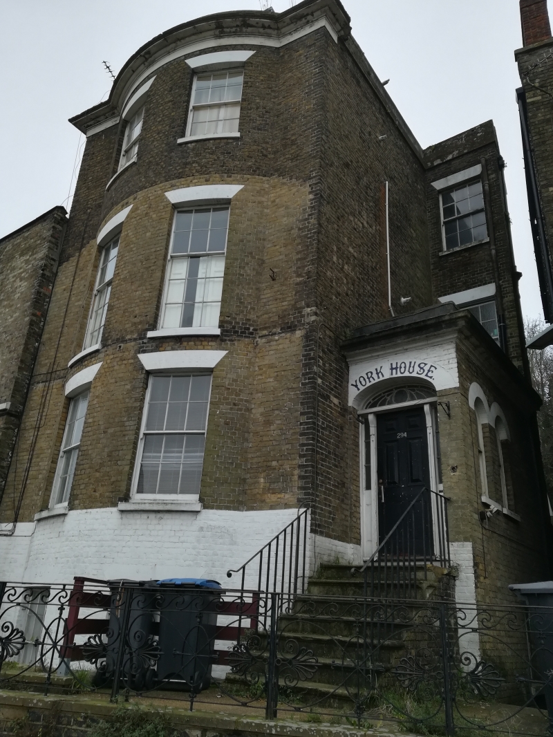
2. Circa 1840. 3 storeys basement and attics brown brick. Hipped mansard roof with 2 dormers. Parapet and dropped moulded eaves cornice. 2-light curved bow on all floors, 1st floor has cast iron balcony and right side elliptical doorcase approached up a flight of steps with cast iron railings.
Nos 279 to 319 (consec) form a group.
Listing NGR: TR3118942174
External links are from the relevant listing authority and, where applicable, Wikidata. Wikidata IDs may be related buildings as well as this specific building. If you want to add or update a link, you will need to do so by editing the Wikidata entry.


Other nearby listed buildings