Latitude: 51.0754 / 51°4'31"N
Longitude: 1.1425 / 1°8'33"E
OS Eastings: 620230
OS Northings: 135374
OS Grid: TR202353
Mapcode National: GBR V0P.FPH
Mapcode Global: FRA F688.YR9
Plus Code: 9F3334GV+52
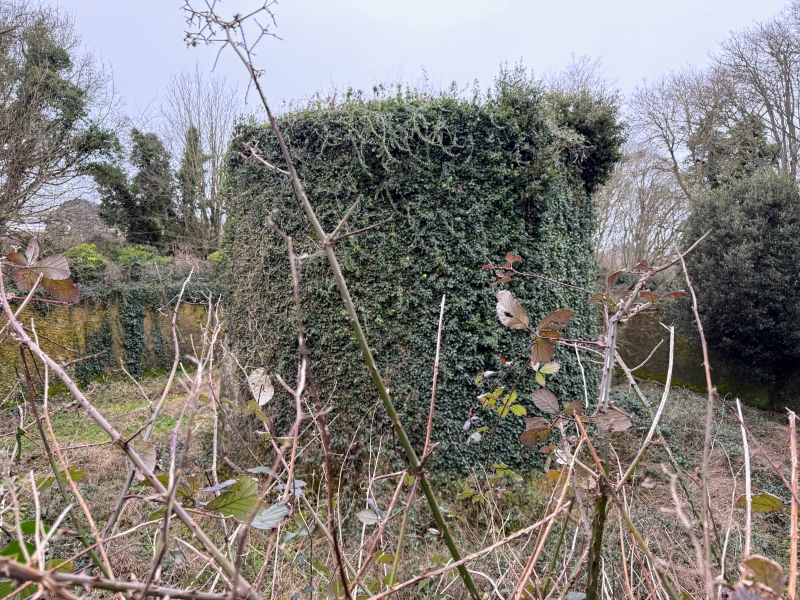
Entry Name: Martello Tower No 6
Listing Date: 11 March 1975
Grade: II
Source: Historic England
Source ID: 1068919
English Heritage Legacy ID: 175256
ID on this website: 101068919
Location: Sandgate, Folkestone and Hythe, Kent, CT20
County: Kent
District: Folkestone and Hythe
Civil Parish: Sandgate
Built-Up Area: Folkestone
Traditional County: Kent
Lieutenancy Area (Ceremonial County): Kent
1. 5281 Martello Tower No 6 TR 2035 SW 8/19A II 2. Built in 1806 as part of the coast defences. Circular tower built of brick with walls 5½ ft to 6 ft thick. Most of the cement coating has worn off. In the centre is a brick pillar with vaulted arches springing from it. On the ground floor was the magazine and above it quarters for the garrison divided into 2 rooms with a gun emplacement in the roof. Ditch with ramparts lined with brick. Dilapidated drawbridge. 1 chimney. The door is about 6 ft above the ground.
Listing NGR: TR2023035374


Other nearby listed buildings