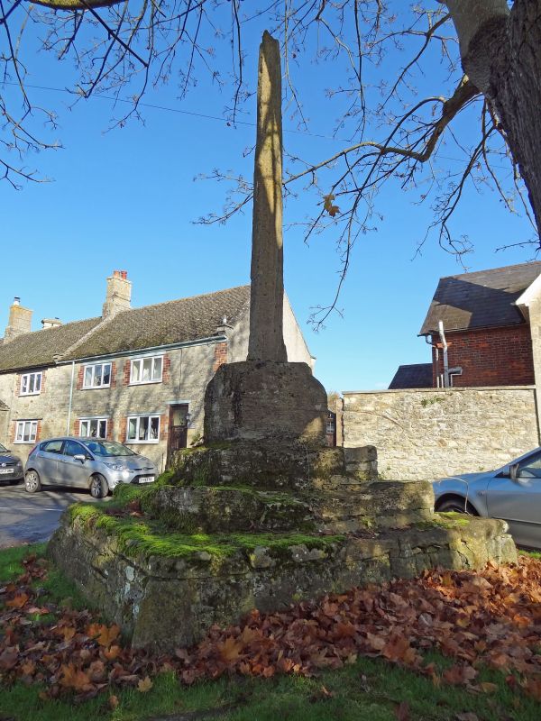
Latitude: 51.5812 / 51°34'52"N
Longitude: -1.6665 / 1°39'59"W
OS Eastings: 423202
OS Northings: 186976
OS Grid: SU232869
Mapcode National: GBR 5WJ.ZCV
Mapcode Global: VHC0Y.2JB7
Plus Code: 9C3WH8JM+F9
Entry Name: Market Cross
Listing Date: 21 November 1966
Last Amended: 11 December 1985
Grade: II
Source: Historic England
Source ID: 1048741
English Heritage Legacy ID: 250672
ID on this website: 101048741
Location: Bourton, Vale of White Horse, Oxfordshire, SN6
County: Oxfordshire
District: Vale of White Horse
Civil Parish: Bourton
Traditional County: Berkshire
Lieutenancy Area (Ceremonial County): Oxfordshire
Church of England Parish: Shrivenham with Watchfield and Bourton
Church of England Diocese: Oxford
BOURTON THE HILL SU28NW 4/43 Market cross. 21/11/66 (Formerly listed as Village Cross)
GV II
Market cross. C14. Limestone ashlar. 3 steps and most of shaft survives.
Listing NGR: SU2320286976


Other nearby listed buildings