
All Photos: 663
Photos this month: 0
Photos this week: 0
Featured Photos: 11
Buildings photographed: 203
First photos of building: 126
First photos of building this month: 0
First photos of building this week: 0
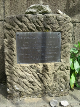
Conduit Head
The descriptive plaque
5 October 2019
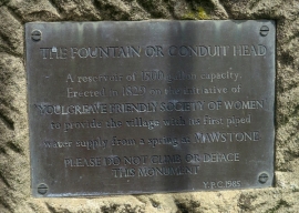
Conduit Head
A detail of the descriptive plaque
5 October 2019
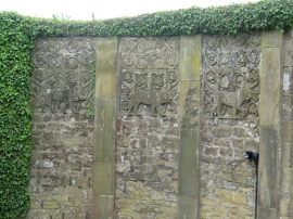
Garden Walls, Pergola and Gatepiers to Raenstor Close
Details of relief sculptures of animals to the garden wall
5 October 2019
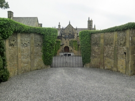
Garden Walls, Pergola and Gatepiers to Raenstor Close
The garden wall flanking the entrance gate to Raenstor Close, with relief sculptures
5 October 2019
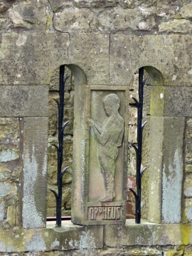
Garden Walls, Pergola and Gatepiers to Raenstor Close
The releif of Orpheus
5 October 2019
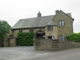
Lodge, Stableblock and Outbuilding to Raenstor Close
A general view of the front elevation
5 October 2019
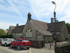
All Saints School and School House
A general view from the south-west
5 October 2019
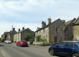
Turret House and Attached Railings
A general view of Turret House (foreground) from the north-east
5 October 2019
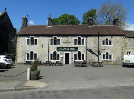
The George Hotel and Outbuildings to East
A general view of the front (south) elevation
25 September 2019
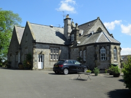
1-6, The Old School Close
A view from the north-west
25 September 2019
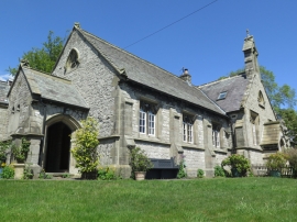
1-6, The Old School Close
A general view from the east
25 September 2019
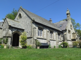
1-6, The Old School Close
A general view from the south-west
25 September 2019
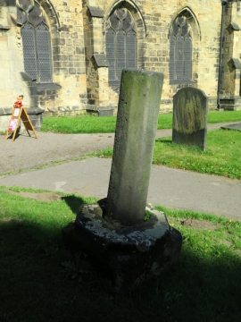
Remains of Cross Approximately 7 Metres South of Porch of Church of All Saints
A general view
22 September 2019
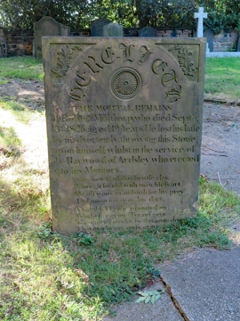
Gravestone to Robert Millthorp Approximately 3 Metres to West of Tower of Church of All Saints
A general view
22 September 2019
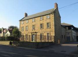
Garland House Surgery
An oblique general view of the south and east elevations
22 September 2019
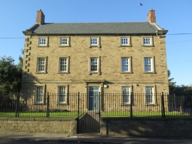
Garland House Surgery
A general view of the front (south) elevation
22 September 2019
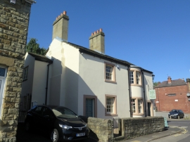
2, Vicar Road
A general view from the south-east
22 September 2019
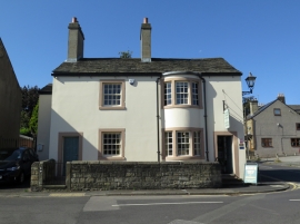
2, Vicar Road
A general view of the east elevation
22 September 2019
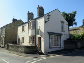
2, Vicar Road
A general view of the north and east elevations
22 September 2019
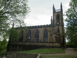
Church of St Mary
A general view of the east elevation
4 September 2019
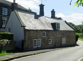
Butts House
A general view of the west elevation from the north-west
25 August 2019
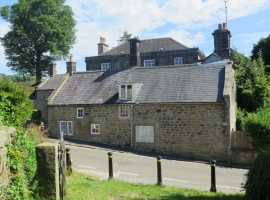
Butts House
A general view of the west elevation
25 August 2019
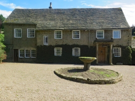
The Old Rectory
A general view of the front elevation
25 August 2019
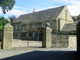
The Old Rectory
A general view from the south-west
25 August 2019
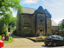
The Former National Girls School
An oblique view of the front elevation
25 August 2019
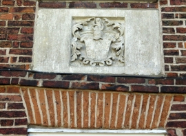
2, River View
A detail of the armorial crest
25 August 2019
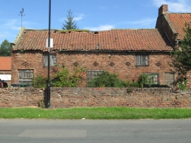
The Lilacs and Attached Outbuilding
A general view
25 August 2019
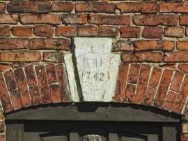
The Lilacs and Attached Outbuilding
A detail of the keystone with date 1742
25 August 2019
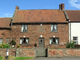
The Lilacs and Attached Outbuilding
A general view of the principal elevation
25 August 2019
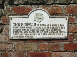
Pinfold Approximately 30 Metres to North East of Junction with East Field Road
An information plaque
25 August 2019
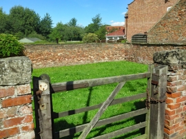
Pinfold Approximately 30 Metres to North East of Junction with East Field Road
A general view
25 August 2019
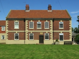
The Hall Farmhouse
A general view of the south elevation
25 August 2019
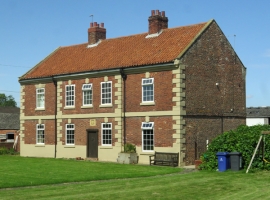
The Hall Farmhouse
A general view from the south-east
25 August 2019
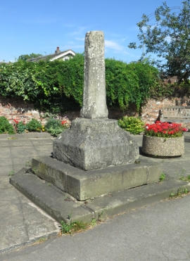
Village Cross at Junction with Pinfold Lane
A general view from the south-west
25 August 2019
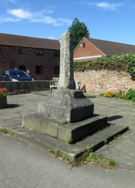
Village Cross at Junction with Pinfold Lane
A general view from the south-east.
25 August 2019
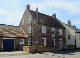
2, River View
A general view
25 August 2019
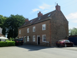
1, 3 and 5, Church Street
A general view
25 August 2019
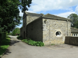
Parish Hall
A general view from the south
12 August 2019
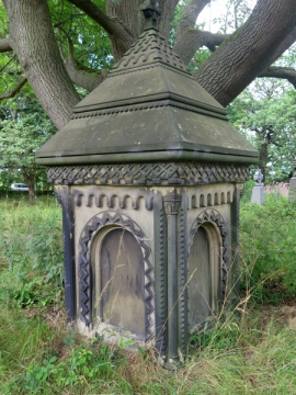
Memorial to Zinai Wormald Approximately 30 Metres North of Church of St John the Baptist
A general view
12 August 2019
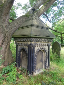
Memorial to Zinai Wormald Approximately 30 Metres North of Church of St John the Baptist
A general view
12 August 2019
