Latitude: 56.3391 / 56°20'20"N
Longitude: -2.7871 / 2°47'13"W
OS Eastings: 351437
OS Northings: 716581
OS Grid: NO514165
Mapcode National: GBR 2R.4PS4
Mapcode Global: WH7S0.5X2R
Plus Code: 9C8V86Q7+J5
Entry Name: Precinct Wall
Listing Date: 23 February 1971
Category: A
Source: Historic Scotland
Source ID: 386537
Historic Scotland Designation Reference: LB40589
Building Class: Cultural
ID on this website: 200386537
Location: St Andrews
County: Fife
Town: St Andrews
Electoral Ward: St Andrews
Traditional County: Fife
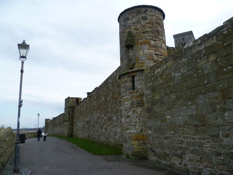
Perhaps 14th century or older, heightened early 16th century. Rubble built with 3 gates and 13 towers (16 in 1683) enclosing originally approximately 30 acres; 3 towers oblong, remainder round with canopied niches. Tower No. 13 rebuilt in new position, road realignment 1971.
Guardianship Monument.


Other nearby listed buildings