Latitude: 55.904 / 55°54'14"N
Longitude: -3.46 / 3°27'35"W
OS Eastings: 308816
OS Northings: 668838
OS Grid: NT088688
Mapcode National: GBR 4085.QF
Mapcode Global: WH5RJ.TVKT
Plus Code: 9C7RWG3R+H2
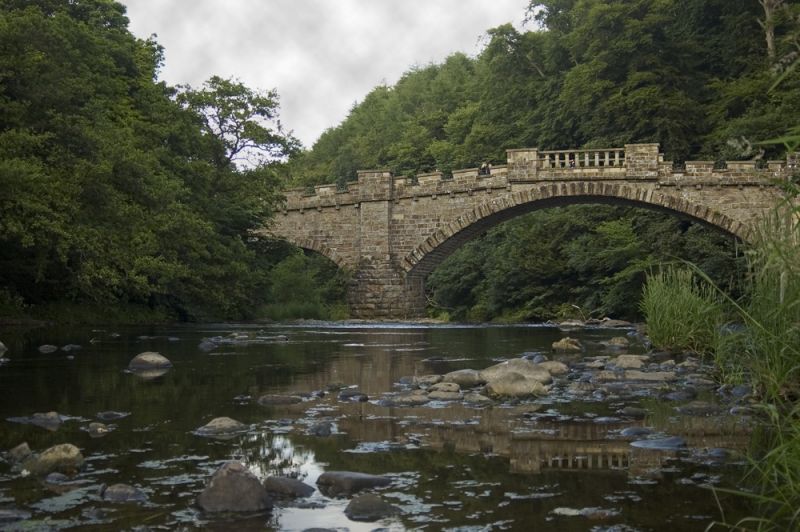
Entry Name: Almondell Bridge
Listing Name: Almondell Bridge, River Almond
Listing Date: 22 January 1971
Category: A
Source: Historic Scotland
Source ID: 339229
Historic Scotland Designation Reference: LB7370
Building Class: Cultural
ID on this website: 200339229
Location: Kirknewton
County: West Lothian
Electoral Ward: East Livingston and East Calder
Parish: Kirknewton
Traditional County: West Lothian
c.1800. Alexander Nasmyth. 1 wide segmental arch with smaller one to N. Coursers. Rock-faced voussoirs. Castellated parapet; slab coping on square piers in centre.
Partly in Uphall, West Lothian. On avenue to Almondell House.


Other nearby listed buildings