Latitude: 55.1559 / 55°9'21"N
Longitude: -3.4066 / 3°24'23"W
OS Eastings: 310471
OS Northings: 585524
OS Grid: NY104855
Mapcode National: GBR 48NT.8K
Mapcode Global: WH6XC.NN1R
Plus Code: 9C7R5H4V+99
Entry Name: Millhouse Bridge
Listing Name: Millhousebridge Village, Millhouse Bridge
Listing Date: 3 August 1971
Category: A
Source: Historic Scotland
Source ID: 334336
Historic Scotland Designation Reference: LB3324
Building Class: Cultural
ID on this website: 200334336
Location: Applegarth
County: Dumfries and Galloway
Electoral Ward: Annandale North
Parish: Applegarth
Traditional County: Dumfriesshire
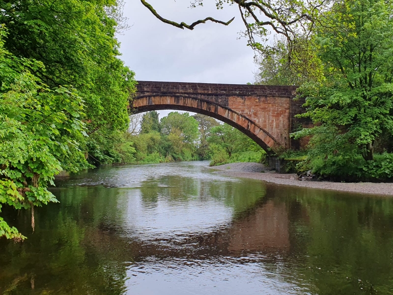
John MacCracken contractor. 1827 (inscribed stone).
Roadbridge, single wide segmental arch over River Annan. All
built of red ashlar, mostly stugged including rusticated
voussoirs; band course and parapet coping polished ashlar.
Slightly battered abutments, shallow terminal piers at curved approaches.
Design influenced by Telford's Glasgow-Carlisle road bridges.
Span circa 30 metres. Listed category A for scale and design.
Change of Category B to A 22.2.88


Other nearby listed buildings