Latitude: 51.9007 / 51°54'2"N
Longitude: -2.0761 / 2°4'33"W
OS Eastings: 394862
OS Northings: 222462
OS Grid: SO948224
Mapcode National: GBR 2M4.XL5
Mapcode Global: VH947.YHT9
Plus Code: 9C3VWW2F+7H
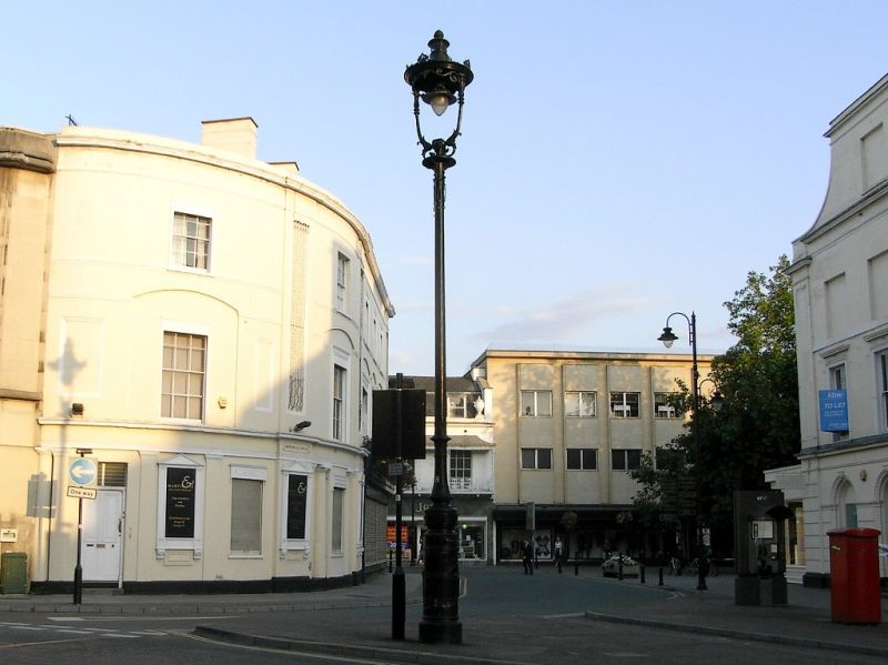
Entry Name: Clarence Lamp
Listing Date: 14 December 1983
Grade: II
Source: Historic England
Source ID: 1386869
English Heritage Legacy ID: 474281
ID on this website: 101386869
Location: Cheltenham, Gloucestershire, GL50
County: Gloucestershire
District: Cheltenham
Electoral Ward/Division: Lansdown
Parish: Non Civil Parish
Built-Up Area: Cheltenham
Traditional County: Gloucestershire
Lieutenancy Area (Ceremonial County): Gloucestershire
Church of England Parish: Cheltenham, St Mary with St Matthew
Church of England Diocese: Gloucester
Tagged with: Architectural structure
CHELTENHAM
SO9422SE CLARENCE STREET 630-1/13/282 Clarence Lamp 14/12/83
II
Lamp post at junction with Imperial Circus. c1900. By George Smith, the Sun Foundry, Glasgow. Cast- and wrought-iron. Moulded and fluted base and plinth, shaft capped by circular lamp on 2 stems, with enrichment.
Listing NGR: SO9473222492
External links are from the relevant listing authority and, where applicable, Wikidata. Wikidata IDs may be related buildings as well as this specific building. If you want to add or update a link, you will need to do so by editing the Wikidata entry.


Other nearby listed buildings