Latitude: 51.4945 / 51°29'40"N
Longitude: -0.0893 / 0°5'21"W
OS Eastings: 532735
OS Northings: 179019
OS Grid: TQ327790
Mapcode National: GBR SL.2F
Mapcode Global: VHGR0.DPMN
Plus Code: 9C3XFWV6+R7
Entry Name: Numbers 1-19 Including Handrail
Listing Date: 27 September 1972
Last Amended: 17 September 1998
Grade: II
Source: Historic England
Source ID: 1376552
English Heritage Legacy ID: 470555
ID on this website: 101376552
Location: Walworth, Southwark, London, SE1
County: London
District: Southwark
Electoral Ward/Division: Chaucer
Parish: Non Civil Parish
Built-Up Area: Southwark
Traditional County: Surrey
Lieutenancy Area (Ceremonial County): Greater London
Church of England Parish: Southwark Holy Trinity and St Matthew
Church of England Diocese: Southwark
Tagged with: Building
SOUTHWARK
TQ3279 BARTHOLOMEW STREET 636-1/5/32 (South side) 27/09/72 Nos.1-19 (Odd) including handrail (Formerly Listed as: BARTHOLOMEW STREET Nos.1-19 (Odd))
II
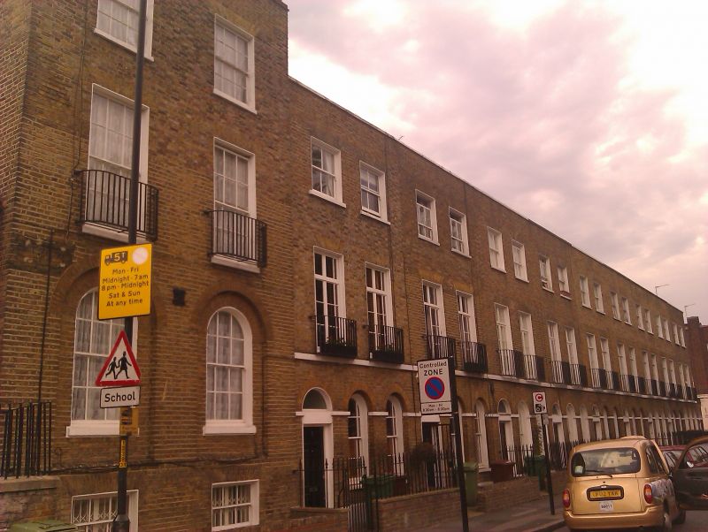
Terrace of 10 houses. 1818-19, parts appearing rebuilt. Yellow stock brick with slate roof behind parapet, No.1 with mansard and dormer. 3 storeys, 2 bays (2 windows and door to ground floors) each, except No.1 which is a taller 3 storeys with attic and raised basement. Round arches to ground-floor openings: (altered) doorways with replaced fanlights and sash windows in round-arched recesses with glazing bars and margin lights, all with stucco string at spring. Entrances to Nos 1 & 19 in 1-storey outer extensions. Flat, gauged-brick arches to upper windows, those on 1st floor taller casements with glazing bars and cast-iron balconies, those on 2nd floor sashes with glazing bars. No.1 has sashes on all floors and cast-iron handrail. INTERIOR: not inspected.
Listing NGR: TQ3273579019
External links are from the relevant listing authority and, where applicable, Wikidata. Wikidata IDs may be related buildings as well as this specific building. If you want to add or update a link, you will need to do so by editing the Wikidata entry.


Other nearby listed buildings