Latitude: 51.5913 / 51°35'28"N
Longitude: -1.2574 / 1°15'26"W
OS Eastings: 451537
OS Northings: 188313
OS Grid: SU515883
Mapcode National: GBR 912.0YJ
Mapcode Global: VHCYM.583F
Plus Code: 9C3WHPRV+G2
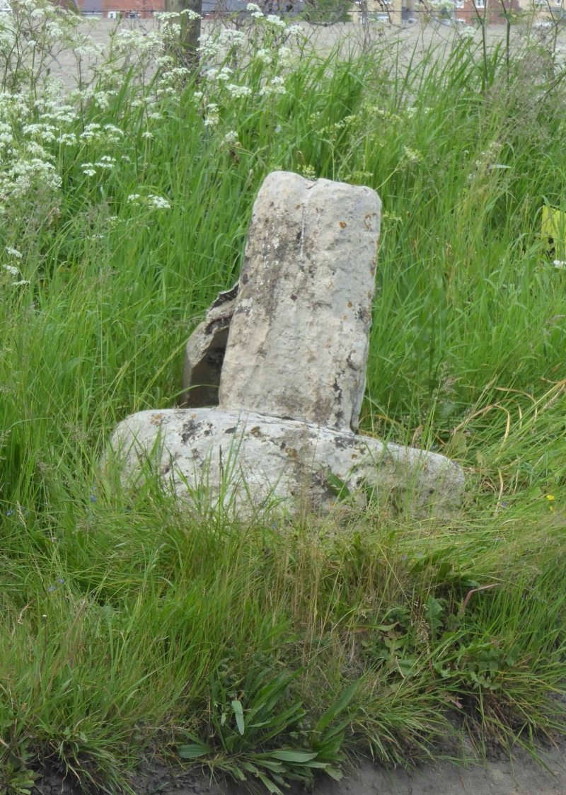
Entry Name: Cross
Listing Date: 4 November 1986
Grade: II
Source: Historic England
Source ID: 1368794
English Heritage Legacy ID: 248669
ID on this website: 101368794
Location: Coscote, South Oxfordshire, OX11
County: Oxfordshire
District: South Oxfordshire
Civil Parish: East Hagbourne
Traditional County: Berkshire
Lieutenancy Area (Ceremonial County): Oxfordshire
Church of England Parish: Hagbourne
Church of England Diocese: Oxford
EAST HAGBOURNE PARK ROAD SU58NW (West side) Coscote 6/56 Cross
- II
Village Cross. C15. Stone. Rough-hewn circular base. Remains of octagonal tapering shaft.
Listing NGR: SU5153788313


Other nearby listed buildings