Latitude: 51.5671 / 51°34'1"N
Longitude: -1.2396 / 1°14'22"W
OS Eastings: 452798
OS Northings: 185630
OS Grid: SU527856
Mapcode National: GBR 918.RDQ
Mapcode Global: VHCYM.GWH1
Plus Code: 9C3WHQ86+R4
Entry Name: Ashbrook House
Listing Date: 24 November 1966
Last Amended: 5 May 1988
Grade: II
Source: Historic England
Source ID: 1368614
English Heritage Legacy ID: 249931
ID on this website: 101368614
Location: Blewbury, Vale of White Horse, Oxfordshire, OX11
County: Oxfordshire
District: Vale of White Horse
Civil Parish: Blewbury
Built-Up Area: Blewbury
Traditional County: Berkshire
Lieutenancy Area (Ceremonial County): Oxfordshire
Church of England Parish: Blewbury
Church of England Diocese: Oxford
Tagged with: House
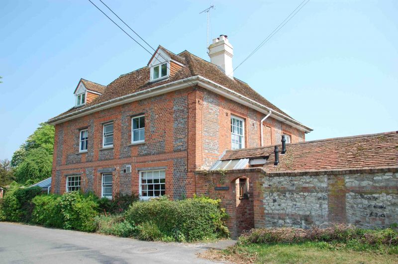
BLEWBURY WESTBROOK STREET SU5285 (East side) 15/69 Ashbrook House 24/11/66 (Formerly listed as Ashbrook Farmhouse GV II House. Probably mid C18, with later alterations. Red brick; old plain-tile hipped roof, with central valley; rendered brick ridge stacks to left and right, 2-storey, 3-window main range to garden. Sash door to centre with stone architrave surround and stone Doric porch. 16-pane unhorned sashes to all openings. Rear elevation, to road, and side elevations, in grey brick with red brick dressings. Interior not inspected.
Listing NGR: SU5279885630
External links are from the relevant listing authority and, where applicable, Wikidata. Wikidata IDs may be related buildings as well as this specific building. If you want to add or update a link, you will need to do so by editing the Wikidata entry.


Other nearby listed buildings