Latitude: 52.3497 / 52°20'58"N
Longitude: -1.5803 / 1°34'49"W
OS Eastings: 428685
OS Northings: 272485
OS Grid: SP286724
Mapcode National: GBR 5LC.P97
Mapcode Global: VHBX9.K6FK
Plus Code: 9C4W8CX9+VV
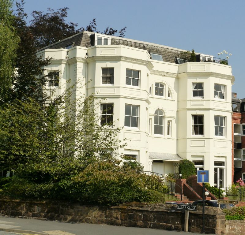
Entry Name: Kenilworth Hall
Listing Date: 10 November 1971
Grade: II
Source: Historic England
Source ID: 1364878
English Heritage Legacy ID: 307739
ID on this website: 101364878
Location: Ladyes Hills, Warwick, Warwickshire, CV8
County: Warwickshire
District: Warwick
Civil Parish: Kenilworth
Built-Up Area: Kenilworth
Traditional County: Warwickshire
Lieutenancy Area (Ceremonial County): Warwickshire
Church of England Parish: Kenilworth St Nicholas
Church of England Diocese: Coventry
Tagged with: House
BRIDGE STREET 1. 1270 (East Side) Kenilworth Hall SP 2872 SE 6/10 II GV 2. Late C18. Stucco; 3 storeys; 3-light angular bay each side. Venetian window to centre. Moulded stone doorcase. Quoins. Moulded stone cornice; parapet. Street elevation has advanced barrel-headed porch to centre.
Kenilworth Hall and Garages at Kenilworth Hall form a group.
Listing NGR: SP2868572485
External links are from the relevant listing authority and, where applicable, Wikidata. Wikidata IDs may be related buildings as well as this specific building. If you want to add or update a link, you will need to do so by editing the Wikidata entry.


Other nearby listed buildings