Latitude: 51.4161 / 51°24'57"N
Longitude: -2.1232 / 2°7'23"W
OS Eastings: 391526
OS Northings: 168569
OS Grid: ST915685
Mapcode National: GBR 1RR.40X
Mapcode Global: VH96K.4NWS
Plus Code: 9C3VCV8G+CP
Entry Name: Town Bridge
Listing Date: 20 December 1960
Last Amended: 7 January 1987
Grade: II
Source: Historic England
Source ID: 1363924
English Heritage Legacy ID: 315456
ID on this website: 101363924
Location: Lacock, Wiltshire, SN15
County: Wiltshire
Civil Parish: Lacock
Built-Up Area: Lacock
Traditional County: Wiltshire
Lieutenancy Area (Ceremonial County): Wiltshire
Church of England Parish: Lacock with Bowden Hill
Church of England Diocese: Bristol
Tagged with: Bridge
LACOCK CANTAX HILL ST 9168 4/23 Town Bridge (formerly listed as Bridge betw 20.12.60 Lacock and Cantax) GV II
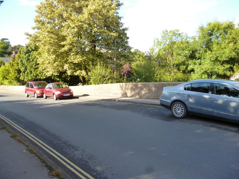
Bridge, early C19, widened on upstream side 1956. Ashlar, 2 low arches with keystones, band and parapet. 1956 side has similar facing but screening concrete beams. Bridge crosses the Byde Brook and was formerly known as Ladd's Bridge.
Listing NGR: ST9152368566
External links are from the relevant listing authority and, where applicable, Wikidata. Wikidata IDs may be related buildings as well as this specific building. If you want to add or update a link, you will need to do so by editing the Wikidata entry.


Other nearby listed buildings