Latitude: 51.2127 / 51°12'45"N
Longitude: 1.3643 / 1°21'51"E
OS Eastings: 635066
OS Northings: 151320
OS Grid: TR350513
Mapcode National: GBR X1W.XDC
Mapcode Global: VHLGZ.LSM7
Plus Code: 9F336977+3P
Entry Name: Hillside Farmhouse
Listing Date: 8 February 1974
Grade: II
Source: Historic England
Source ID: 1363450
English Heritage Legacy ID: 177063
ID on this website: 101363450
Location: Great Mongeham, Dover, Kent, CT14
County: Kent
District: Dover
Civil Parish: Great Mongeham
Built-Up Area: Deal
Traditional County: Kent
Lieutenancy Area (Ceremonial County): Kent
Tagged with: Farmhouse
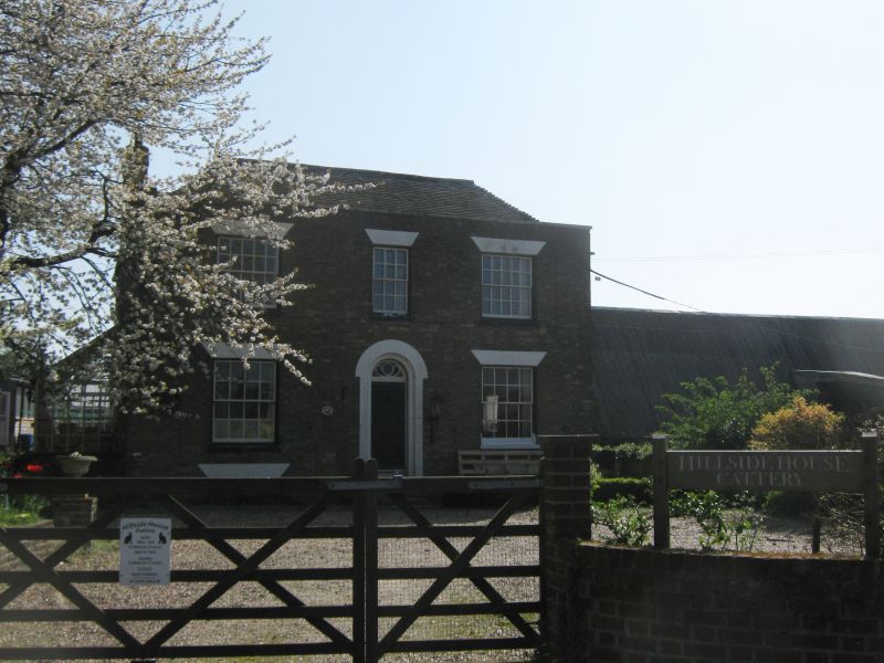
ELLENS ROAD 1. 1035 GREAT MONGEHAM Hillside Farmhouse TR 35 SE 5/154 II 2. Early C19. 2 parallel ranges. 2 storeys brown brick. Hipped tiled roof and parapet. 3 sashes with glazing bars intact. The ground floor windows have lost their original wooden shutters. Round-headed doorcase with semi-circular fanlight and 6 panel moulded door.
Listing NGR: TR3506651319
External links are from the relevant listing authority and, where applicable, Wikidata. Wikidata IDs may be related buildings as well as this specific building. If you want to add or update a link, you will need to do so by editing the Wikidata entry.


Other nearby listed buildings