Latitude: 51.0106 / 51°0'38"N
Longitude: 0.7024 / 0°42'8"E
OS Eastings: 589670
OS Northings: 126945
OS Grid: TQ896269
Mapcode National: GBR QWW.JF2
Mapcode Global: FRA D6CF.TQH
Plus Code: 9F322P62+6X
Entry Name: Oxney House
Listing Date: 9 August 1979
Grade: II
Source: Historic England
Source ID: 1362954
English Heritage Legacy ID: 180498
ID on this website: 101362954
Location: Wittersham, Ashford, Kent, TN30
County: Kent
District: Ashford
Civil Parish: Wittersham
Built-Up Area: Wittersham
Traditional County: Kent
Lieutenancy Area (Ceremonial County): Kent
Tagged with: House
WITTERSHAM THE STREET 1. 5272 No 32 (oxney House) TQ 8927 21/458 II GV
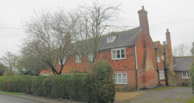
2. Late Cl7 to early Cl8. Two storeys. Ground floor red brick, first floor tile hung. Half-hipped tiled roof with 2 dormers. Five modernized casement windows. Six panelled door. Chimney breast to north-east wall. Later extension to rear. Exposed beams to interior and 2 inglenooks.
Listing NGR: TQ8967026960
External links are from the relevant listing authority and, where applicable, Wikidata. Wikidata IDs may be related buildings as well as this specific building. If you want to add or update a link, you will need to do so by editing the Wikidata entry.


Other nearby listed buildings