Latitude: 51.4594 / 51°27'33"N
Longitude: -0.1495 / 0°8'58"W
OS Eastings: 528660
OS Northings: 175009
OS Grid: TQ286750
Mapcode National: GBR F1.WHJ
Mapcode Global: VHGR5.CLB1
Plus Code: 9C3XFV52+Q6
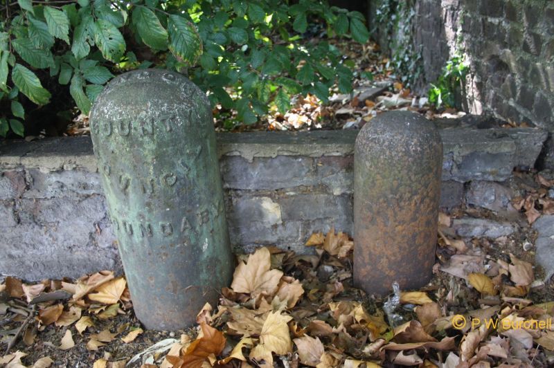
Entry Name: 2 Parish Boundary Markers Adjacent to Clapham Mansions Nightingale Lane 9 Battersea Parish Boundary Markers Parish Boundary Marker Adjacent to Number 11 Nightingale Lane Parish Boundary Marker East of
Listing Date: 7 April 1983
Grade: II
Source: Historic England
Source ID: 1357656
English Heritage Legacy ID: 207004
ID on this website: 101357656
Location: Clapham Common, Wandsworth, London, SW4
County: London
District: Wandsworth
Electoral Ward/Division: Shaftesbury
Parish: Non Civil Parish
Built-Up Area: Wandsworth
Traditional County: Surrey
Lieutenancy Area (Ceremonial County): Greater London
Church of England Parish: Battersea St Luke
Church of England Diocese: Southwark
Tagged with: Boundary marker
CLAPHAM COMMON SW4 1. 5033 9 Battersea Parish boundary markers TQ 2375 10/12 1. TQ 286752 south of junction of Clapham Common North Side and Wix's Lane 2. TQ 286750 north of the Bandstand TQ 2874 13/12 3. TQ 287748 east of the Bandstand 4. TQ 288747 south side of Windmill Drive 5. TQ288745 .. north east of The Avenue 6. TQ 287744 south west side of The Avenue 7. TQ 286742 adjacent to No 11 Nightingale Lane 8 & 9. TQ 285742 adjacent to Clapham Mansions Nightingale Lane II 2. Most dated 1874: Cast iron posts. Elliptical on plan; Legend: 'Battersea'.
Listing NGR: TQ2866075009
External links are from the relevant listing authority and, where applicable, Wikidata. Wikidata IDs may be related buildings as well as this specific building. If you want to add or update a link, you will need to do so by editing the Wikidata entry.


Other nearby listed buildings