Latitude: 51.1462 / 51°8'46"N
Longitude: -1.7142 / 1°42'51"W
OS Eastings: 420089
OS Northings: 138583
OS Grid: SU200385
Mapcode National: GBR 50K.5FK
Mapcode Global: VHC31.7GM6
Plus Code: 9C3W47WP+F8
Entry Name: The Close
Listing Date: 18 February 1958
Grade: II
Source: Historic England
Source ID: 1355653
English Heritage Legacy ID: 319908
ID on this website: 101355653
Location: Boscombe, Wiltshire, SP4
County: Wiltshire
Civil Parish: Allington
Traditional County: Wiltshire
Lieutenancy Area (Ceremonial County): Wiltshire
Church of England Parish: Allington with Boscombe St John the Baptist
Church of England Diocese: Salisbury
Tagged with: Building
ALLINGTON BOSCOMBE SU 23 NW 4/10 The Close 18.2.58 II
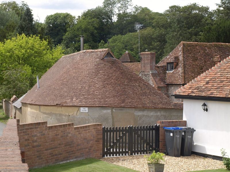
House. Later C17 and c.1800. Flint and brick with tiled roof. Two storeys and attics. Probably originally a central hall bay with service room to left and cross parlour wing on right, outshut added to centre c.1800 and front elevation rebuilt in 3 stages. Entrance 6-panelled door, the upper panels glazed, under wood Tuscan portico of c.1800. Various timber casement windows with leaded glazing. Two dormers to front, one to rear. Roof hipped, and swept down over outshut to rear. Interior: Centre bay has double ovolo moulded spine beam, with single ovolo beam to right bay, now kitchen, with added gable stack of c.1800. Bar chamfer stops to left bay, formerly service room, now drawing room. Stair in outshut has bulbous newels and shaped balusters. Timber framed partitions to upper floor and C17 stair to attic with wavy splat balusters. Double purlin roof, lower butt, and upper clasped. (RCHM survey).
Listing NGR: SU2008938583
External links are from the relevant listing authority and, where applicable, Wikidata. Wikidata IDs may be related buildings as well as this specific building. If you want to add or update a link, you will need to do so by editing the Wikidata entry.


Other nearby listed buildings