Latitude: 52.1062 / 52°6'22"N
Longitude: -2.8386 / 2°50'18"W
OS Eastings: 342663
OS Northings: 245654
OS Grid: SO426456
Mapcode National: GBR FF.9DHR
Mapcode Global: VH77Y.RB76
Plus Code: 9C4V4546+FH
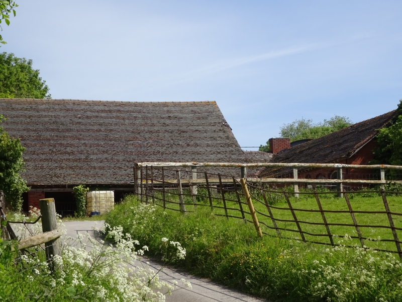
Entry Name: Barn, Granary, Stables, Byres and Wainhouse About 40 Yards West North West of Parsonage Farmhouse
Listing Date: 9 February 1988
Grade: II
Source: Historic England
Source ID: 1349825
English Heritage Legacy ID: 149752
ID on this website: 101349825
Location: Mansel Lacy, County of Herefordshire, HR4
County: County of Herefordshire
Civil Parish: Mansell Lacy
Traditional County: Herefordshire
Lieutenancy Area (Ceremonial County): Herefordshire
Church of England Parish: Mansel Lacy with Yazor
Church of England Diocese: Hereford
MANSELL LACY CP - SO 44 NW 4/72 Barn, granary, stables, byres and wainhouse about 40 yards west-north-west of Parsonage Earmhouse
GV II Barn, granary, stables, byres and wainhouse. "GHD/1872" on tablet. Brick with tiled roofs. E-plan with arms to south. Barn to north side has two levels. Wainhouse is on western arm, stables to centre and right. South elevation has tablet in centre of three gables. Openings have triangular heads. Arched feeding passage with trough to between centre and right-hand projecting arms. Interior has trusses with king-post and raking struts from ties to principals.
Listing NGR: SO4266345654
External links are from the relevant listing authority and, where applicable, Wikidata. Wikidata IDs may be related buildings as well as this specific building. If you want to add or update a link, you will need to do so by editing the Wikidata entry.


Other nearby listed buildings