Latitude: 51.7835 / 51°47'0"N
Longitude: 0.0008 / 0°0'2"E
OS Eastings: 538109
OS Northings: 211316
OS Grid: TL381113
Mapcode National: GBR KC1.10S
Mapcode Global: VHGPP.YFSN
Plus Code: 9F32Q2M2+98
Entry Name: The Clock House
Listing Date: 24 January 1967
Grade: II
Source: Historic England
Source ID: 1341897
English Heritage Legacy ID: 355977
ID on this website: 101341897
Location: St Margarets, East Hertfordshire, SG12
County: Hertfordshire
District: East Hertfordshire
Civil Parish: Stanstead St Margarets
Built-Up Area: St Margarets
Traditional County: Hertfordshire
Lieutenancy Area (Ceremonial County): Hertfordshire
Church of England Parish: Great Amwell with St Margaret's
Church of England Diocese: St.Albans
Tagged with: House
TL 3811 STANSTEAD HODDESDON ROAD ST MARGARETS (west side) St Margarets village 13/33 The Clock House
24.1.67
GV II
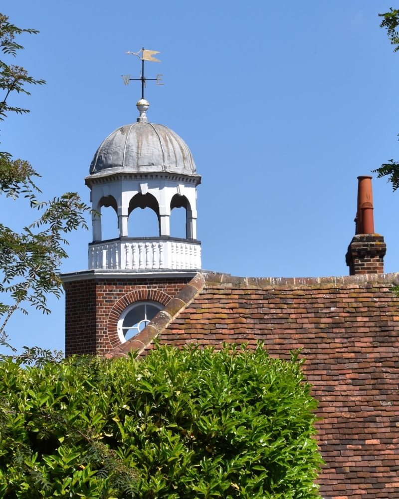
House, formerly a stable block. C18 altered late C19 for Septimus Croft. Red brick in Flemish bond. Stucco bands. Tiled roofs, slated on E slope. A 2-storeys, 3-windows rectagular building facing W. 3-part plan with projecting centre rising to a squareturret and cupola, flanked by hipped roofed wings. 3 parallel roofs with slated hipped ends on E. Central panelled door with flat hood on brackets set in a glazed semi-circular arch. Similar heads to large window on each side with radial glazing bars and casements. Crown firemark at centre. Stucco band at springing level. Brick band at floor level. On 1st floor small central window mullioned and transomed with Gothic tracery. 4-light windows each side. Stucco capped parapet of central turret rises above the wings with an octagonal drum above. Circular window on cardinal faces. Above a cornice a domed open cupola with closed balustrade, round headed arches with 'key stones', and a gilded weather vane. The house to which the stable block belonged is said to have been burnt down in the late C18. (Pevsner (1977) 344). Rainwaterhead dated 1705 is said to come from Sherides in Hoddesdon.
Listing NGR: TL3810911316
External links are from the relevant listing authority and, where applicable, Wikidata. Wikidata IDs may be related buildings as well as this specific building. If you want to add or update a link, you will need to do so by editing the Wikidata entry.


Other nearby listed buildings