Latitude: 51.6897 / 51°41'22"N
Longitude: -1.6788 / 1°40'43"W
OS Eastings: 422296
OS Northings: 199037
OS Grid: SU222990
Mapcode National: GBR 5VC.2C2
Mapcode Global: VHC0B.VSBL
Plus Code: 9C3WM8QC+VF
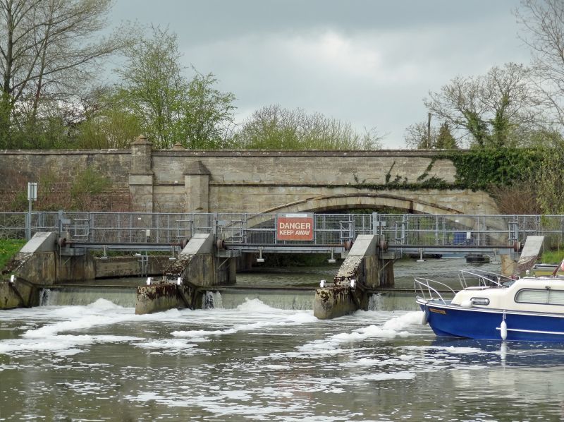
Entry Name: St John's Bridge
Listing Date: 4 June 1952
Grade: II
Source: Historic England
Source ID: 1341292
English Heritage Legacy ID: 128972
ID on this website: 101341292
Location: Cotswold, Gloucestershire, GL7
County: Gloucestershire
District: Cotswold
Civil Parish: Lechlade
Traditional County: Gloucestershire
Lieutenancy Area (Ceremonial County): Oxfordshire
Church of England Parish: Lechlade St Lawrence
Church of England Diocese: Gloucester
Tagged with: Road bridge
SU 29 NW LECHLAD A417
9/127 St. John's Bridge
4.6.52
GV II
Road bridge over River Thames. Rebuilt 1831 by Peter Cox, some alterations in 1884, on site of stone bridge of c1229. Ashlar, with coursed and dressed stone abutments. Low single arch with string course above and wall approximately 1.5m high with steep moulded coping and weathered off set. Ends of arch marked by coped polygonal piers below wall line plus additional set of outer flat piers with double polygonal coping risng above top of wall. Actual bridge length about 15m, width about 5m.
Listing NGR: SU2229699037
External links are from the relevant listing authority and, where applicable, Wikidata. Wikidata IDs may be related buildings as well as this specific building. If you want to add or update a link, you will need to do so by editing the Wikidata entry.


Other nearby listed buildings