Latitude: 50.898 / 50°53'52"N
Longitude: -1.4051 / 1°24'18"W
OS Eastings: 441933
OS Northings: 111117
OS Grid: SU419111
Mapcode National: GBR RQM.3V
Mapcode Global: FRA 76YQ.NFW
Plus Code: 9C2WVHXV+6X
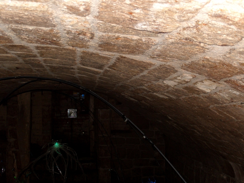
Entry Name: Weigh House Vault (Situated Under Playground of St John's School)
Listing Date: 14 February 1969
Last Amended: 8 October 1981
Grade: II
Source: Historic England
Source ID: 1339999
English Heritage Legacy ID: 135820
ID on this website: 101339999
Location: Southampton, Hampshire, SO14
County: City of Southampton
Electoral Ward/Division: Bargate
Parish: Non Civil Parish
Built-Up Area: Southampton
Traditional County: Hampshire
Lieutenancy Area (Ceremonial County): Hampshire
Church of England Parish: Southampton City Centre St Mary
Church of England Diocese: Winchester
1. FRENCH STREET 5239 (east side)
Weigh House Vault (situated under playground of St John's School) (formerly listed as 'Vault under playground of St John's School) SU 4111 3/125 14.2.69
II
2. Mediaeval vault, probably dating from the end of C14. This was probably of the type where the front part of the undercroft was used as a shop. The vault is elliptical in form built in dressed stone with an ashlar course at springing level. Door with 4-centred head. Stone benches are set in the side recesses. Scheduled as an ancient monument.
Listing NGR: SU4190811158


Other nearby listed buildings