Latitude: 54.5807 / 54°34'50"N
Longitude: -1.8068 / 1°48'24"W
OS Eastings: 412586
OS Northings: 520626
OS Grid: NZ125206
Mapcode National: GBR HHTG.MQ
Mapcode Global: WHC5L.64W6
Plus Code: 9C6WH5JV+77
Entry Name: Quakers' Rest
Listing Date: 9 January 1981
Last Amended: 30 September 1987
Grade: II
Source: Historic England
Source ID: 1338619
English Heritage Legacy ID: 111525
ID on this website: 101338619
Location: Staindrop, County Durham, DL2
County: County Durham
Civil Parish: Staindrop
Built-Up Area: Staindrop
Traditional County: Durham
Lieutenancy Area (Ceremonial County): County Durham
Church of England Parish: Staindrop
Church of England Diocese: Durham
Tagged with: Architectural structure
STAINDROP NORTH GREEN NZ 1220 (North side) 17/160 No. 20 9/1/81 (Quakers' Rest) (formerly listed as The Old Friends Meeting House)
GV II
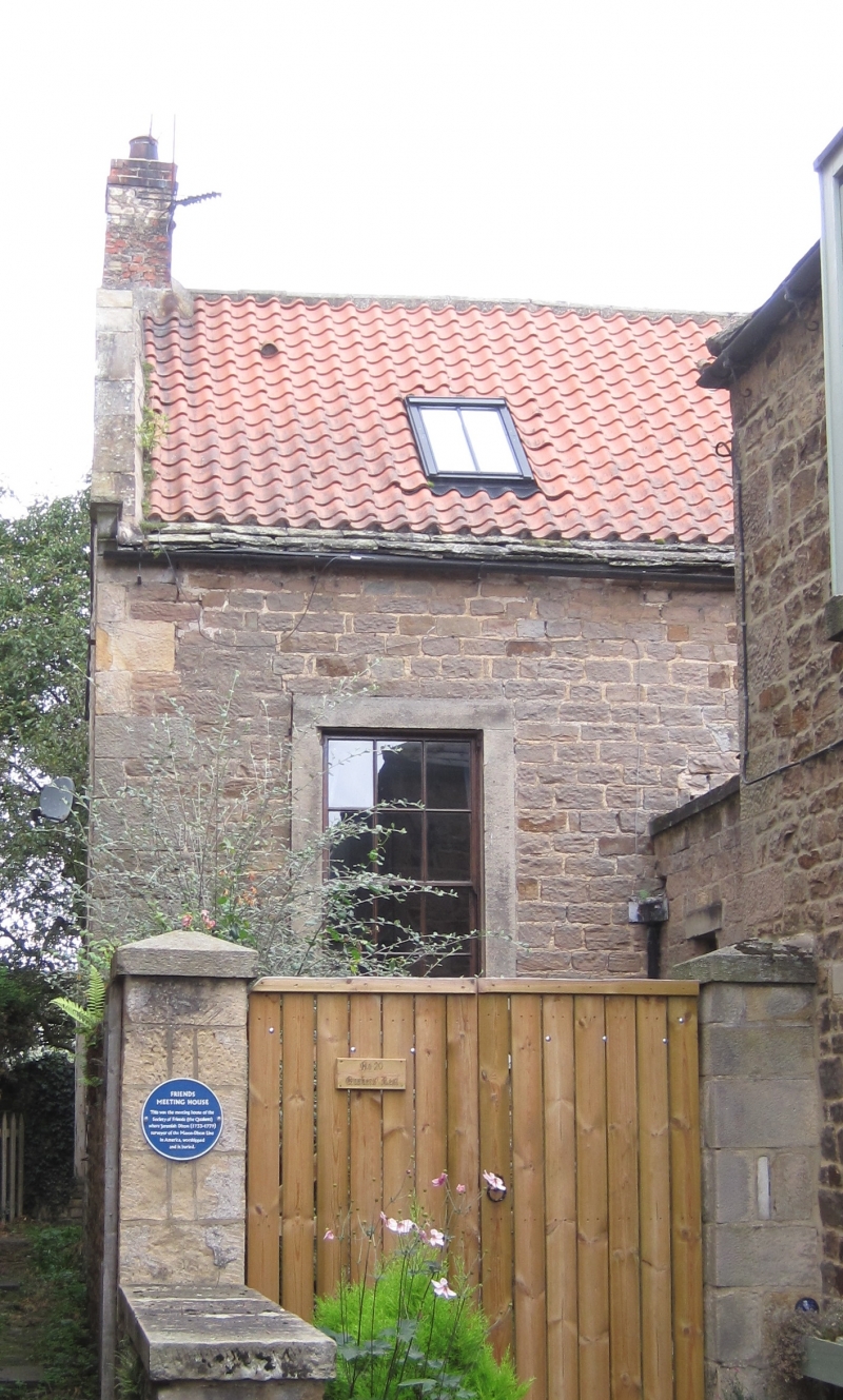
Society of Friends' Meeting House, now house. Dated 1771 on rear gable kneeler. Replaced house in village of Raby which was demolished around that date for park improvements; circa 1981 alterations. Coursed squared sandstone with quoins and ashlar dressings; roof pantiles with stone eaves, stone gable copings and brick chimney. One storey, 3 bays, with east porch and pent east extension. East elevation facing street has renewed double doors and 5-pane overlight in plain stone surround in pedimented porch; pediment bed continues as coping on returns; left return has sash. Main building has large renewed sash with glazing bars in tooled stone surround in first bay and small rectangular vent at ground level in plain stone surround. Pent extension to right of porch has inserted windows and door and raised eaves. Roof has cyma-moulded kneelers; small square left end chimney. Gabled right return has paired renewed sashes in plain stone surrounds, with blocked opening under flat stone lintel in gable peak, and 2 wide inserted windows in lower part.
Historical note: Jeremiah Dixon, one of the surveyors of the U.S. Mason Dixon Line, is buried in the grave yard, now garden, to the north; he has no headstone, although there are stones marking the graves of members of his family.
Sources: Ross and Mackenzie, View of the County Palatine of Durham, Newcastle 1834, p 197; W. Fordyce, History of the County Palatine of Durham, 1857, p.91.
Listing NGR: NZ1258720627
External links are from the relevant listing authority and, where applicable, Wikidata. Wikidata IDs may be related buildings as well as this specific building. If you want to add or update a link, you will need to do so by editing the Wikidata entry.


Other nearby listed buildings