Latitude: 51.0471 / 51°2'49"N
Longitude: 0.5641 / 0°33'50"E
OS Eastings: 579829
OS Northings: 130655
OS Grid: TQ798306
Mapcode National: GBR PTZ.CFN
Mapcode Global: FRA D62C.1LQ
Plus Code: 9F322HW7+RJ
Entry Name: Mill House
Listing Date: 5 July 1993
Grade: II
Source: Historic England
Source ID: 1336719
English Heritage Legacy ID: 170170
ID on this website: 101336719
Location: Tunbridge Wells, Kent, TN17
County: Kent
District: Tunbridge Wells
Civil Parish: Benenden
Traditional County: Kent
Lieutenancy Area (Ceremonial County): Kent
Tagged with: House
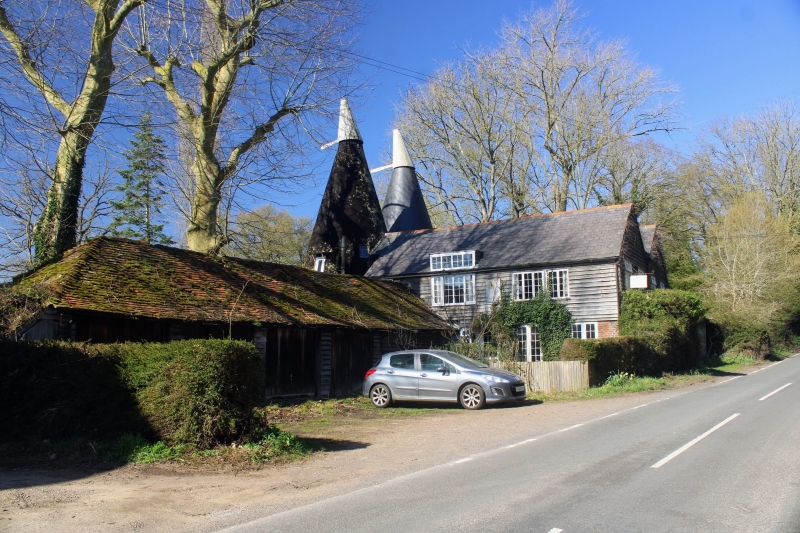
BENENDEN TQ73SE MILL STREET 1350-0/2/63 (North West side) Mill House II House. c.1820. Weatherboarded on painted brick base. Hipped slate roof with end brick chimneystacks: 2 storeys and basement. 3 windows. 20-pane sashes with glazing bars intact in moulded architraves. Central doorcase with 6 panelled door, moulded architrave and 2 stone steps. Catslide roof to rear. This house may originally have been the mill house to Wandle Mill.
Listing NGR: TQ7982930655
External links are from the relevant listing authority and, where applicable, Wikidata. Wikidata IDs may be related buildings as well as this specific building. If you want to add or update a link, you will need to do so by editing the Wikidata entry.


Other nearby listed buildings