Latitude: 51.3295 / 51°19'46"N
Longitude: 1.4142 / 1°24'51"E
OS Eastings: 637943
OS Northings: 164468
OS Grid: TR379644
Mapcode National: GBR X0L.QBZ
Mapcode Global: VHMCW.GVH5
Plus Code: 9F338CH7+QM
Entry Name: St Benet's
Listing Date: 4 February 1988
Grade: II
Source: Historic England
Source ID: 1336330
English Heritage Legacy ID: 172011
ID on this website: 101336330
Location: Ramsgate, Thanet, Kent, CT11
County: Kent
District: Thanet
Civil Parish: Ramsgate
Built-Up Area: Ramsgate
Traditional County: Kent
Lieutenancy Area (Ceremonial County): Kent
Tagged with: Architectural structure
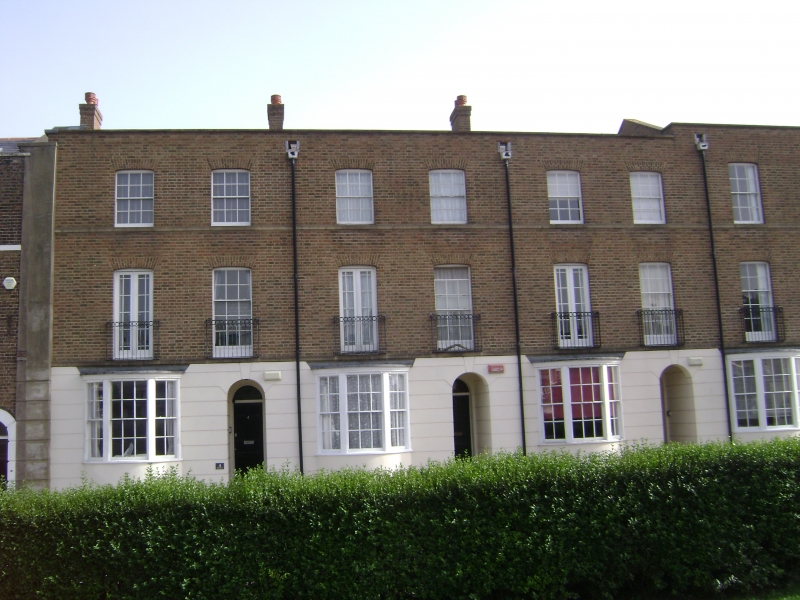
RAMSGATE SPENCER SQUARE TR 3764 SE (south side) 18/375 Nos. 1 and 2 (St. Benet's) GV II House. Late C19. Rendered with slate roof. Three storeys and attic with 6 storey tower. Horizontally rusticated base and balustrated parapet with urn finials. Roof hipped to right with 3 moulded segmental dormers with ball finials. Gable to rear tower to left with segmentally headed sashes with stacks and stair turret grouped to right. Two full height canted bays with sashes on 2nd floor and French windows and sashes on 1st floor with tented verandah taken round bays, with moulded valancing, slender piers and cast iron rails. Sash and French windows on ground floor and double half-glazed doors with semi-circular fanlight, with surround on recessed marble columns. Cast iron rails to ground floor. Central swept stair with balustrade.
Listing NGR: TR3794364468
External links are from the relevant listing authority and, where applicable, Wikidata. Wikidata IDs may be related buildings as well as this specific building. If you want to add or update a link, you will need to do so by editing the Wikidata entry.


Other nearby listed buildings