Latitude: 54.9432 / 54°56'35"N
Longitude: -2.7347 / 2°44'4"W
OS Eastings: 353034
OS Northings: 561192
OS Grid: NY530611
Mapcode National: GBR 9CB8.RT
Mapcode Global: WH7ZZ.Y0YT
Plus Code: 9C6VW7V8+74
Entry Name: Laurel House
Listing Date: 1 April 1957
Grade: II
Source: Historic England
Source ID: 1335555
English Heritage Legacy ID: 77834
ID on this website: 101335555
Location: Brampton, Cumberland, Cumbria, CA8
County: Cumberland
District: Carlisle
Civil Parish: Brampton
Built-Up Area: Brampton
Traditional County: Cumberland
Lieutenancy Area (Ceremonial County): Cumbria
Church of England Parish: Brampton St Martin
Church of England Diocese: Carlisle
Tagged with: House
NY 5361 BRAMPTON MAIN STREET BRAMPTON (North side)
16/39 Laurel House
1.4.57 II
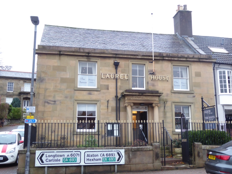
Club, formerly house. 1830's-1840's. Calciferous sandstone with moulded cornice and blocking course, incised stucco to side, graduated slate roof. 2 storeys, 3 bays. Prostyle Ionic porch, has moulded entablature and dentilled cornice: 8-panel door with patterned fanlight and pilastered surround. 2-pane sashes have moulded surrounds.
Listing NGR: NY5302861196
External links are from the relevant listing authority and, where applicable, Wikidata. Wikidata IDs may be related buildings as well as this specific building. If you want to add or update a link, you will need to do so by editing the Wikidata entry.


Other nearby listed buildings