Latitude: 53.3349 / 53°20'5"N
Longitude: -2.7989 / 2°47'56"W
OS Eastings: 346897
OS Northings: 382292
OS Grid: SJ468822
Mapcode National: GBR 8YWW.V8
Mapcode Global: WH87P.ZFCS
Plus Code: 9C5V86M2+WC
Entry Name: 2 and 2A, Church End
Listing Date: 28 January 1971
Grade: II
Source: Historic England
Source ID: 1330338
English Heritage Legacy ID: 55959
ID on this website: 101330338
SJ 48 SE HALE C.P. CHURCH END
4/5 Nos 2 and 2A 28.1.71 II
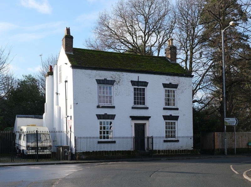
2 storey Lime-washed brick house mid.C18. Original sandstone ridge but recently a stone slate roof was replaced by large concrete tiles. 2 near flush 16 paned sash windows each floor with flat rusticated heads. There is a similar painted window over the front entrance door. The door has octagonal panels and moulded doorcase with cornice. Interior: Not of interest.
Listing NGR: SJ4689782292
External links are from the relevant listing authority and, where applicable, Wikidata. Wikidata IDs may be related buildings as well as this specific building. If you want to add or update a link, you will need to do so by editing the Wikidata entry.


Other nearby listed buildings