Latitude: 50.1272 / 50°7'38"N
Longitude: -5.7087 / 5°42'31"W
OS Eastings: 135031
OS Northings: 31829
OS Grid: SW350318
Mapcode National: GBR DX8B.ZWG
Mapcode Global: VH05F.02D8
Plus Code: 9C2P47GR+VG
Entry Name: Cape Cornwall Chimney
Listing Date: 19 March 1979
Grade: II
Source: Historic England
Source ID: 1327826
English Heritage Legacy ID: 69221
ID on this website: 101327826
Location: Cornwall, TR19
County: Cornwall
Civil Parish: St. Just
Traditional County: Cornwall
Lieutenancy Area (Ceremonial County): Cornwall
Church of England Parish: St Just-in-Penwith
Church of England Diocese: Truro
Tagged with: Chimney
The asset was previously listed twice also at List entry 1115112. This entry was removed from the List on 16 December 2024.
This entry was subject to a Minor Amendment on 16 December 2024 to correct typo and reformat to current standards. The GIS triangle depiction was moved slightly from SW3503031830 to SW3503131829, thus placing it centrally on building. The grid reference was removed from the Details text.
1589
SW 33 SE 1/157
CAPE CORNWALL
Cape Cornwall Chimney
II
Early 1850s. Tapering brick shaft on tall octagonal podium with arched panels and brick cornice. Flue of arsenic mine.
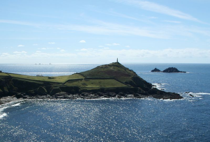
Dramatically situated on headland. Used by local fishermen as a navigational aid.
Mine closed circa 1900.
External links are from the relevant listing authority and, where applicable, Wikidata. Wikidata IDs may be related buildings as well as this specific building. If you want to add or update a link, you will need to do so by editing the Wikidata entry.


Other nearby listed buildings