Latitude: 50.1168 / 50°7'0"N
Longitude: -5.4785 / 5°28'42"W
OS Eastings: 151427
OS Northings: 29880
OS Grid: SW514298
Mapcode National: GBR DXVC.PBH
Mapcode Global: VH130.0B38
Plus Code: 9C2P4G8C+PJ
Entry Name: The Sentry Box
Listing Date: 9 October 1987
Grade: II*
Source: Historic England
Source ID: 1327573
English Heritage Legacy ID: 69972
ID on this website: 101327573
Location: Marazion, Cornwall, TR17
County: Cornwall
Civil Parish: St. Michael's Mount
Traditional County: Cornwall
Lieutenancy Area (Ceremonial County): Cornwall
Tagged with: Sentry box
MARAZION ST MICHAEL'S MOUNT SW 53 SW
1/62 The Sentry Box
GV II*
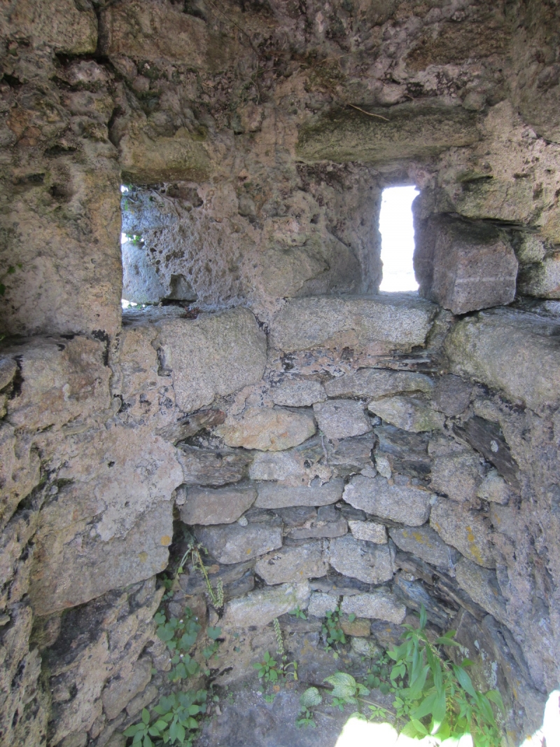
Defensive wall with sentry box. C15. Battered granite rubble wall built over rocky outcrop. Plan: thick retaining wall with sentry box at its north end and gateway at its south end. The wall is pierced by 3 embrasures splayed on both faces. The sentry box is just large enough inside for a man to stand and is roofed with corbelled granite slabs sloping down under a ridge slab. Small lookout opening to the 3 outer sides and doorway to the inner (west) side. The rocky outcrop within is the former St Michael's Chair, later to be resited on the Church tower.
Listing NGR: SW5142629878
External links are from the relevant listing authority and, where applicable, Wikidata. Wikidata IDs may be related buildings as well as this specific building. If you want to add or update a link, you will need to do so by editing the Wikidata entry.


Other nearby listed buildings